Difference between revisions of "2023-08-03 58 5"
From Geohashing
(→Photos) |
(→Photos) |
||
| Line 41: | Line 41: | ||
Image:2023-08-03_58_5_Pica42_1691053479315.jpg|Stemmen [https://openstreetmap.org/?mlat=58.74836620&mlon=5.86265220&zoom=16 @58.7484,5.8627] | Image:2023-08-03_58_5_Pica42_1691053479315.jpg|Stemmen [https://openstreetmap.org/?mlat=58.74836620&mlon=5.86265220&zoom=16 @58.7484,5.8627] | ||
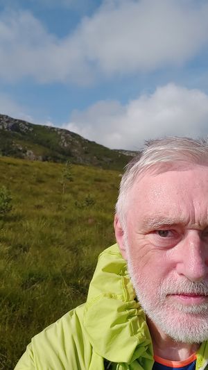
Image:1691069459472 58 5 NE.jpg|thumb|View to the northeast | Image:1691069459472 58 5 NE.jpg|thumb|View to the northeast | ||
| − | + | Image:1691069508361 58 5 NV.jpg|thumb|View to the northwest | |
Revision as of 14:05, 3 August 2023
| Thu 3 Aug 2023 in 58,5: 58.7483404, 5.8626202 geohashing.info google osm bing/os kml crox |
Location
A short distance above an old dam called Stemmen and located near Ålgård, Gjesdal, Norway
Participants
Plans
Expedition
Tracklog
Photos
Stemmen @58.7484,5.8627
Achievements


