Difference between revisions of "2024-06-07 52 8"
From Geohashing
(new report) |
(→Ribbons: last man standing) |
||
| Line 30: | Line 30: | ||
{{land geohash|date=2024-06-07|latitude=52|longitude=8|name=[[User:Fippe|Fippe]]|image=2024-06-07 52 8 04 Geohash.jpg}} | {{land geohash|date=2024-06-07|latitude=52|longitude=8|name=[[User:Fippe|Fippe]]|image=2024-06-07 52 8 04 Geohash.jpg}} | ||
{{OSM|date=2024-06-07|latitude=52|longitude=8|name=[[User:Fippe|Fippe]]|OSMlink=152393711}} | {{OSM|date=2024-06-07|latitude=52|longitude=8|name=[[User:Fippe|Fippe]]|OSMlink=152393711}} | ||
| + | {{last man standing|date=2024-06-07|latitude=52|longitude=8|name=[[User:Fippe|Fippe]]}} | ||
__NOTOC__ | __NOTOC__ | ||
Latest revision as of 19:32, 11 July 2024
| Fri 7 Jun 2024 in 52,8: 52.2301691, 8.2634138 geohashing.info google osm bing/os kml crox |
Location
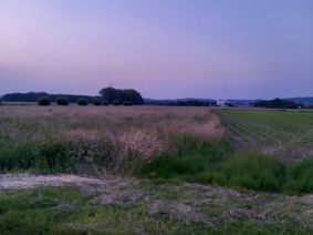
This Geohash is located on a meadow in Warringhof.
Participants
Expedition
In the evening, I took the train to Westerhausen and walked the rest of the distance.
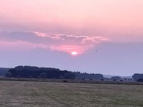
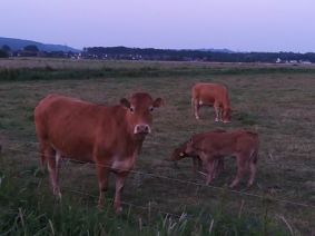
On the way, I watched the sun setting while walking around a campground. Near the coordinates, I spotted some hashcows. The meadow on which the coordinates were did not have any cows on it though. After locating the coordinates and recording proof, I waited until 22:00 until I left.
Afterwards, I walked back to Westerhausen and took the train back home to Osnabrück.
Photos
Tracklog
Ribbons
Fippe earned the Land geohash achievement
|
Fippe earned the OpenStreetMap achievement
|
Fippe earned the Last man standing achievement
|


