Difference between revisions of "2024-07-09 47 8"
From Geohashing
Globescorer (talk | contribs) |
Globescorer (talk | contribs) (→Achievements) |
||
| Line 35: | Line 35: | ||
{{#vardefine:ribbonwidth|100%}} | {{#vardefine:ribbonwidth|100%}} | ||
{{land geohash|date=2024-07-09|latitude=47|longitude=8|name=[[User:globescorer|globescorer]]|image=2024-07-09 47 8 The Geohash.jpg}} | {{land geohash|date=2024-07-09|latitude=47|longitude=8|name=[[User:globescorer|globescorer]]|image=2024-07-09 47 8 The Geohash.jpg}} | ||
| + | {{Last man standing | latitude = 47 | longitude = 8 | date = 2024-07-09 | name = globescorer }} | ||
[[Category:Expeditions]] | [[Category:Expeditions]] | ||
Latest revision as of 13:28, 29 August 2024
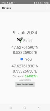
| Tue 9 Jul 2024 in 47,8: 47.6276159, 8.5332591 geohashing.info google osm bing/os kml crox |
Location
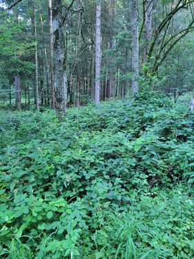
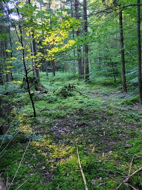
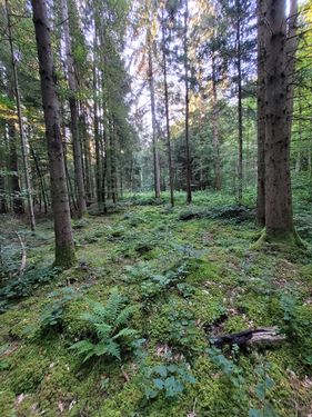
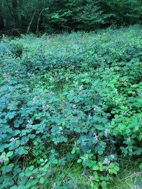
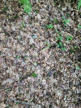
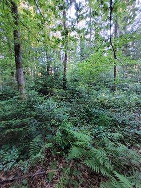
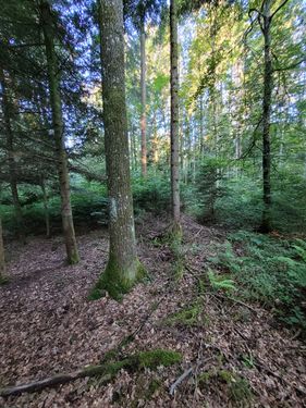
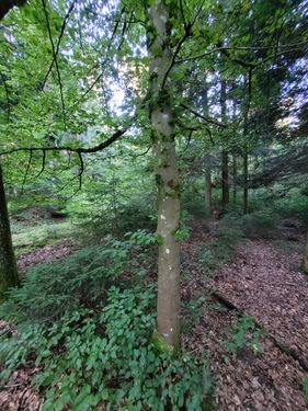
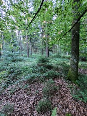
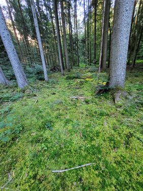
This Geohash is located in a forest near Rafz (ZH), Switzerland.
Participants
Plans
going there before work.
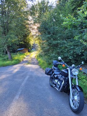
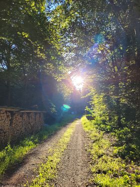
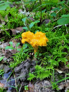
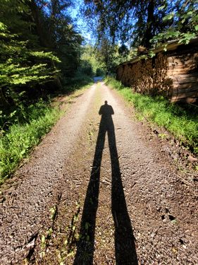
Expedition / Photos
Achievements
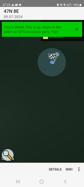
globescorer earned the Land geohash achievement
|
globescorer earned the Last man standing achievement
|
