2009-08-09 50 11
| Sun 9 Aug 2009 in 50,11: 50.4929400, 11.0338846 geohashing.info google osm bing/os kml crox |
Participants
Expedition
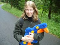
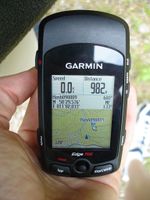
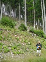
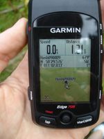
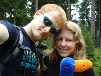
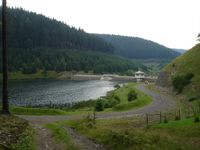
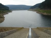
Today the weather wasn't as good as yesterday, but Manu and Reinhard had planned to go there and after telling Manu's parents that the hashpoint was located near the Goldisthal barrage and pumped storage plant which was built between 1997 and 2003 they said they wanted to go there, too, and so in the end Manu's dad was driving all of them to Scheibe-Alsbach as far as one was allowed to drive on the old road towards Goldisthal, which now is mostly covered with water from the barrage. After parking the car they all went towards the barrage on the road, that Manu and Reinhard had to leave soon to climb the right hillside and get to the hashpoint, while Manu's parents were staying in the valley's bottom. Firstly, the two geohashers could follow a steep path, but after getting as close as 130 m to the hashpoint, they decided to go straight to the hashpoint which meant walking through brushwood at an even more steep slope, since using forest paths to get closer to the hashpoint would have meant a detour of more than one kilometer. Monitoring the slowly decreasing air-line distance at the GPS device helped getting up there and finally arriving at the hashpoint, where they took some photos, also of Göker and Elch, who used to just drive around in Manu's father's car for years and were happy that they were taken out of it for this geohash expedition. After that they got to the next path and followed it down to the barrage, where they met Manu's parents who were waiting on a bench on the dam. After watching the beautiful barrage for a while they all walked back together to the car.
- Photo Gallery
