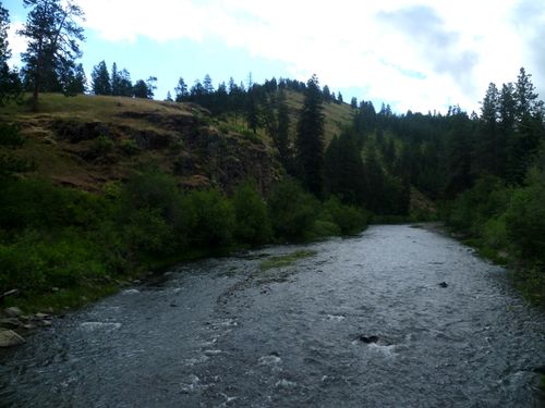
2011-07-19 45 -118
From Geohashing
Revision as of 22:04, 9 March 2012 by imported>Mampfred
| Tue 19 Jul 2011 in 45,-118: 45.2848191, -118.3209582 geohashing.info google osm bing/os kml crox |
The hashpoint was near the highest point of land visible here.
Location
On a ridge above the Grande Ronde River west of La Grande.
Participants
Expedition
This was the first known attempt to hash the Pendleton graticule.
From La Grande, we drove on I-84 and Oregon State Highway 244 to a point about 3/4 of a mile from the hashpoint. However, after surveying the ridgeline from points on the highway and in a nearby campground, we had safety concerns about the steep slope down to the river that we would have to climb across, and were unsure whether or not a route would be feasible that did not cross fence lines. We decided to retreat.
Expedition Thwarted.

