Location
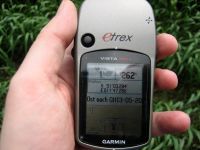
Beside a mud path near Molau
Participants
Expedition
When it happened at my last geohash that Juja was there too, but at a different time, she suggested "Next time we should better coordinate our activities." That’s what I tried yesterday by sending an e-mail to her and the first indicators signalized that we might go there together today. But when it was time to do the last preparations no Juja was available on the phone.
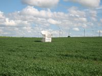
So I started as uncoordinated as always. I followed the cycle track beside the Saale to Dorndorf, where I left it and went on to Wetzdorf, Frauenpriessnitz. On the way to Schleuskau I stopped a the large chair, I knew from Jujas Hash expedition on April 25. I took a photo of the chair but was not in the mood to do that delayed shutter release stuff and so there is no picture of me, sitting in the chair. Damn, maybe next time. (Memo to me: when I go there next time, I should ask someone to join me).
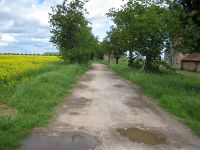
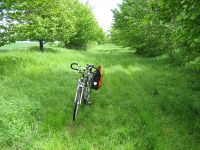
After that little break I continued in point-direction. The last 500 meters were presented in standard geohash style of class “medium”, not to good, not to bad. It was some kind of mud path made of grass that led directly to the point. I took some photos and went home for some cake. And since there was no reason to divide it, it was a lot of cake for me.
Photos
| Start of the last 500 meters
|
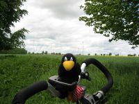
| Räbe, waiting at the bike
|
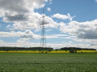
| The area around the point
|
|
