2014-07-27 43 -85
| Sun 27 Jul 2014 in 43,-85: 43.0440391, -85.3360050 geohashing.info google osm bing/os kml crox |
Location
On 5 Mile Road, Belding, MI, USA
Participants
Expedition
I have now entered a sort of geohashing Diplomatic Immunity period: we have two teenagers in the house learning to drive, and they must each accumulate 50 hours of practice driving time before they can obtain real licences. So, car geohashes that would have previously not been justifiable are suddenly contributing to a family goal!
Today's is an example: 22 miles away, right on a gravel road in farm country. We delayed a little because some severe thunderstorms with hail were passing a little south of us and we wanted to make sure we wouldn't encounter them on the trip. We left about 5 pm, Katja at the wheel, and arrived at the hashpoint (after only one missed turn) about 5:45. We parked the car about 150 m past the hashpoint, at a spot where the road was a little wider and the parked car was more visible than at the hashpoint itself. As we walked back toward the hashpoint a car came along the road, and the driver stopped and asked if we were okay, no doubt expecting we had had car trouble or run out of gas.
The hashpoint was, as expected, right on the road, on the eastbound side. Views away from the road showed healthy-looking farm country, with corn to the north and pasture to the south. We did get rained on on the way home, but suffered neither lightning nor hail.
- 2014-07-27 43 -85 19
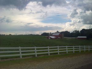
Fence and barn we passed on the way home.
Achievements
{{land geohash | latitude = 43 | longitude = -85 | date = 2014-07-27 | name = [[User:Mcbaneg|George] and Katja] }}


