2018-05-19 51 13
| Sat 19 May 2018 in Dresden: 51.0687664, 13.8761435 geohashing.info google osm bing/os kml crox |
Location
Today's location is in a meadow at Weißig, a former village nowadays incorporated into Dresden
Country: Germany; state: Sachsen (Saxony, EU:DE:SN); district: Dresden; Ortschaft: Weißig
Weather: mostly clouded during the day but sunny at the hashpoint
Expedition
Danatar
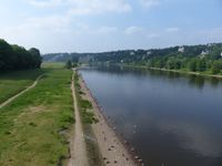
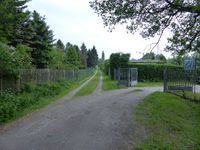
This hashpoint was a good canditate for an expedition as the weather was fine, it was a Saturday without work and the distance was not too far. I took my bike and cycled through Dresden to the Loschwitz bridge behind which a long climbing road started. On another expedition I had already cycled up there and I still remembered the pain but this time it wasn't as bad (though still difficult). When I was up on the hill it became easier and I followed the roads towards the hashpoint. During the last part there was a path going through the forest next to the street and then I reached the meadow with the hashpoint. Finding the exact spot needed more of a hash dance than expected but finally I found it.
Coordinates reached, now waiting for hash o'clock @51.0688,13.8761
While I was at the hashpoint the clouds even gave way to the sun which was nice. I waited for a while because I hoped for other visitors at 4 p.m. but nobody came. So I jumped back on my bike and returned. The steep hill was alot easier on the way down and I reached 50 km/h.
|


