File:2016-12-29-52-0-plan.png
From Geohashing
Size of this preview: 485 × 600 pixels. Other resolutions: 194 × 240 pixels | 992 × 1,227 pixels.
Original file (992 × 1,227 pixels, file size: 580 KB, MIME type: image/png)
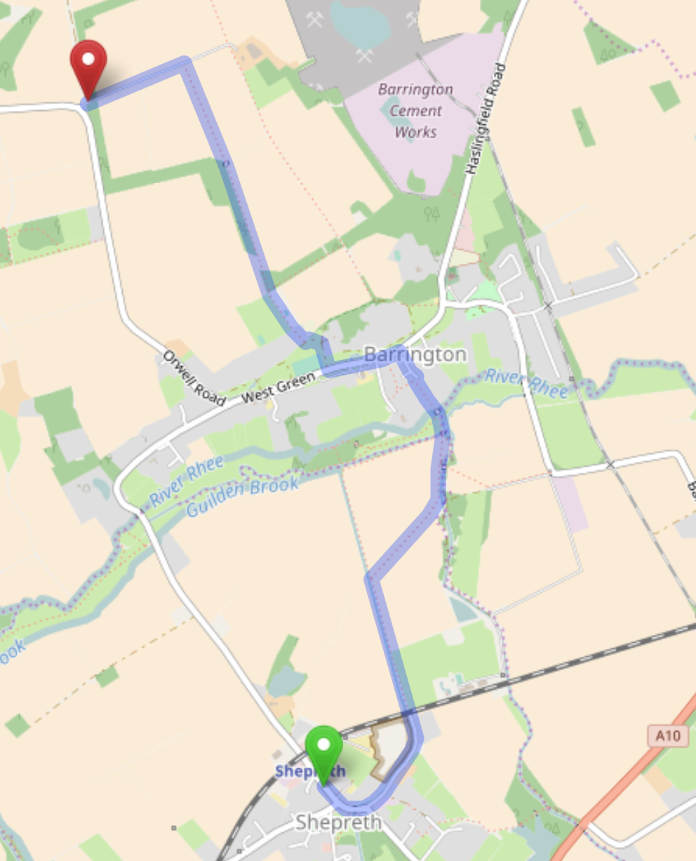
Planned walking route to from Shepreth station to 2016-12-29 52 0.
File history
Click on a date/time to view the file as it appeared at that time.
| Date/Time | Thumbnail | Dimensions | User | Comment | |
|---|---|---|---|---|---|
| current | 15:25, 30 January 2020 | | 992 × 1,227 (580 KB) | Maintenance script (talk | contribs) |
- You cannot overwrite this file.
File usage
The following page links to this file: