Location
Today's location is in a meadow (or fallow field) near Drei Gleichen-Mühlberg
Country: Germany; state: Thüringen (Thuringia, EU:DE:TH); district: Gotha; municipality: Drei Gleichen.
Weather: sunny with clouds
Expedition
This expedition is the third part of an Ultra Hash (4 geohashes on the same day).
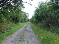
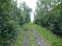
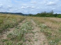
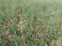
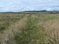
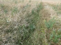
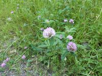
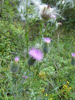
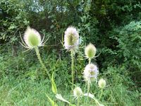
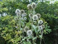
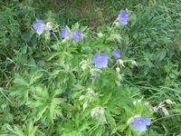
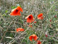
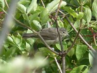
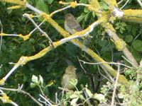
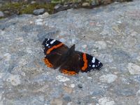
Again on the Autobahn A4, I took the Wandersleben exit and drove through Mühlberg before parking at the beginning of a field track. I walked along long hedges, trying to stay out of the sun because I already felt the beginning of a sunburn. There were many colorful plants, butterflies and birdsong. After a while I was near the hashpoint. The field it was in was overgrown with a variety of plants, only part of which were rapeseed. I suspected it to be a fallow field with the rapeseed plants being from last year's crop's leftovers, because a normal rapeseed field would not have so many other plants. I used the remnants of tire tracks to get to the spot. Hooray, number three reached!
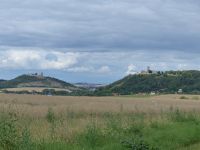
From the spot I had a good view towards two of the three local castles who gave the municipality its name (Drei Gleichen means "three alike" and refers to three castles which are rather near to each other on different hills). After taking pictures, I walked back to the car. I saw that there would be another hashpoint on my way, so I continued along the A4.
| plants in the field around the hashpoint
|
| along tracks through the field
|
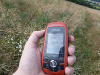
| Coordinates reached, the third
|
|
tracklog
File: willfollow.gpx does not exist. Reload?
