2024-08-25 50 6
| Sun 25 Aug 2024 in 50,6: 50.7538654, 6.0136727 geohashing.info google osm bing/os kml crox |
Location
This Geohash is located in a forest in Gemmenich.
Inverse Retro
Participants
Expedition
Fippe
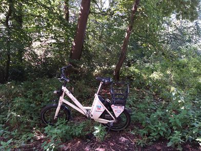
In the morning, I walked to Osnabrück Central and took the train via Düsseldorf to Aachen-West. There, I rented an e-bike and cycled the rest of the distance.
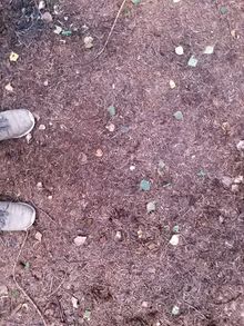
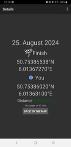
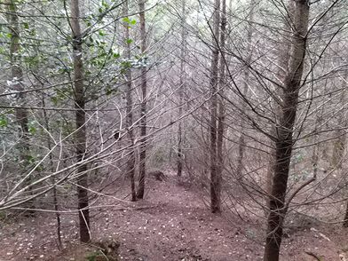
In Vaals, I first crossed the border into the Netherlands, and after a few minutes, I crossed the forest border into Belgium. The coordinates were not far now, I parked the bike and approached the mast meters on foot. I located the coordinates among some holly trees and bare conifers, recorded proof, and walked back to the bicycle.
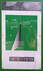
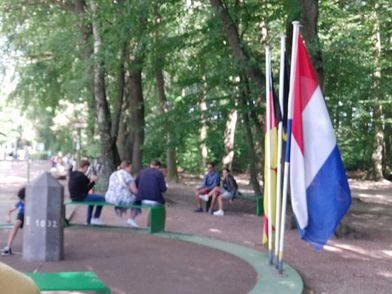
Next, I checked out the nearby tripoint, where the territories of Belgium, the Netherlands and Germany meet. It used to be a quadripoint in the days of Neutral Moresnet, a condominium of Belgium and Prussia that the Esperanto community declared its world capital. At 322 meters above the sea, the Vaalserberg also is the highest point of the European Netherlands.
Afterwards, I cycled to Aachen Central, took the train via Herzogenrath and Düsseldorf to Osnabrück Central and walked back home.
Photos
Fippe
Tracklog
Fippe
Ribbons
Fippe earned the Land geohash achievement
|
Fippe earned the Border geohash achievement
|
- Meetup on 2024-08-25
- Meetup in 50 6
- Expeditions with tracklogs
- Land geohash achievement
- Border geohash achievement
- Retro meetup
- Retro coordinates reached
- Expeditions
- Coordinates reached
- Expeditions with photos
- Meetup in Province de Liège
- Expeditions by Fippe
- Fippe's expeditions by bike
- Fippe's expeditions on foot
- Fippe's expeditions by train
