Location
This geo hash lies on a meadow and should be (easily?) accessible.
Participants
Plans
Reinhard plans to visit the hash on his way to Goldegg on Friday evening.
Expedition
Success! Reinhard will report soon.
Photos
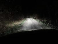
| Stop at Dientener Sattel.
|
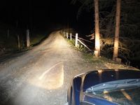
| Car parked. 200 m to the geohash, to the right of the road.
|
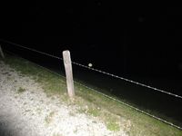
| Cross that fence and climb down the meadow.
|
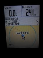
| Coordinates reached in virgin graticule!
|
| That was the slope down to the hashpoint.
|
| Kind of view from the hashpoint.
|
| A brook 15 m from the hashpoint.
|
|
Achievements
Template:Virgin graticule

