2011-12-15 51 11
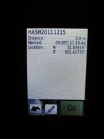
| Thu 15 Dec 2011 in 51,11: 51.0291559, 11.4173319 geohashing.info google osm bing/os kml crox |
Location
Some meters into a field near Oßmannstedt (Thuringia).
Participants
Expedition
This was planned as a two hour bike trip from Jena in the evening after work, but when the coordinates for the next day were available and Manu, who looked them up first, told me it could have been a nice trip, if I'd had some spare-time on Friday, I rethought my plans. I went shopping first, had dinner and prepared my bike, the GPS computer and me for the trip to start it around 10 p.m. Thus, I calculated, I could get to Thursday's hash and ride on to Friday's hash, which I would arrive exactly at midnight.
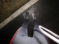
Eventually, I started the trip at 22:07, took the federal road B7 to Umpferstedt and proceeded on smaller roads to Oßmannstedt. As I expected, the field was very muddy, but I was prepared! I had two plastic bags to put over my shoes, but after walking two or three meters it turned out they weren't fixed at all, so I lost them (of course, I picked them up). Heavy, dirty shoes were the logical consequence, but it was just 10 m into the field and too late anyway. 23:10 I was back on the bike and rode on to hash number two.
Photos
|


