2013-08-21 54 25
| Wed 21 Aug 2013 in 54,25: 54.5057897, 25.1128616 geohashing.info google osm bing/os kml crox |
Location
In pine forest, about 20 km south east from the old town of Vilnius.
Participants
Plans
- Nebini will try to reach the hashpoint
- Hire a bicycle from somewhere and get there.
Expedition
Coordinates reached just after sunset.
Actual hashpoint was "only" 350m from the nearest cyclable road. The expedition took way longer than originally planned because the bike broke on the way to the hashpoint.
18:00 Gather all necessary supplies for the trip. The best maps available were images from OpenStreetMap which I photographed with my camera.
18:30
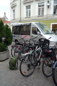
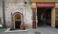 The expedition started by renting a bike from a | bike rental. Price for one day was 40Lt and the rental deposit was 200€. The starting place was about 50 meters from Aušros Vartai.
19:00
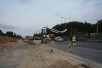 Encountered a road accident. A too tall truck had knocked a steel bar out of place. Hopefully the bridge following the bar was not damaged. There was a long queue of cars. Biking conditions were quite good. The biking lanes were paved. At this point it looked that the trip would be over around 10pm.
19:30
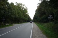 Leaving Vilnius county. Almost no effort has to be exerted, a gentle downhill continued for many kilometers. It seems that cars on the road are not accustomed to bikes. Few cars passed way too close. On Eišiškių plentas road.
19:50
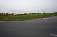 Some typical scenery as seen from the road 202. Probably in Pagiriai.
20:00
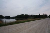 Turned off from 202 to some unnamed road. At this point I noticed that the back wheel of the bike was getting soft. Decided to continue towards the haspoint.
20:45
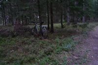
21:00
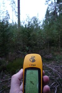 Only a couple hundred meters to the haspoint, this should be easy right...
| Walking in the forest
21:15
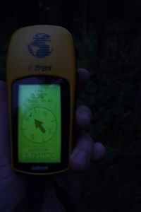
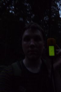 Finally reached the haspoint. The forest changed dramatically during the last 300 meters.
o from easy to walk undergrowth less pine forest to
o young birch/willow forest (see video above) to
o young birch/willow forest with head height european raspberry bushes and almost as tall stinging nettles to
o swamp based old mixed forest with very unstable forest bottom and natural ditches.
I had to change my clothes to avoid burns and scratches. Crossing the ditches was easy because of fallen trees. Unfortunately I didn't took many pictures of this last leg.
21:40
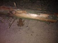 Getting back to the sand based road was almost as easy than getting off the road. A long walk back to the hotel began..
22:50
 I took a wrong turn just after buying some more water from a gas station "Dina" in the middle of nowhere and ended up taking a sight seeing of Keturiasdešimt Totorių. It was a detour around 4 kilometers, a few local childs (and every dog in the village) noticed me. The village didn't have streetlights and the only source of light was the light on my bike and lights in the houses. The childs spoke only lithuanian so we didn't have any real conversation. They were apparently interested what I was doing there.
The noises from the work on the railroad switching yard near the end of Eišiškių plentas road made atmosphere horror-movie like.
Around 01:30 I arrived back at the hotel and went straight to bed.
During the next afternoon I returned the bike with broken back tire. The rental company didn't charge any extra for the damages.
Achievements
- Land geohash