2014-06-08 42 -85
| Sun 8 Jun 2014 in 42,-85: 42.8509933, -85.4917226 geohashing.info google osm bing/os kml crox |
Location
Roadside in a rural residential neighborhood, Caledonia Township, Michigan, USA
Participants
Expedition
An easy one, less than ten miles from home, and a beautiful day. But we got distracted by various activities (reading, swimming, cooking, eating, registering for classes...) and didn't manage to start our expedition until a little after 10 pm. The conversation on the trip there mostly focused on earlier late-night expeditions Midnight at Parkhill Station, Quarrington Hill, Bishop Auckland, and The Cow Hash, and how this trip was shaping up to be much more comfortable than some of those!
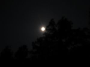
We drove directly to the hashpoint without incident purely on the basis of the satmap, and then confirmed with GPS and took the usual pics though it was pretty doggone dark.
Back at home we ate sticky toffee pudding in honor of our English introduction to geohashing.
- 2014-06-08 42 -85 proof.jpg
Proof.
Achievements
George, Katja, Rebekah earned the Land geohash achievement
|


