Location
Today's location is in a meadow near Leupoldshain, a part of the municipality of Königstein (Sächsische Schweiz).
Country: Germany; state: Sachsen (Saxony, EU:DE:SN); district: Sächsische Schweiz-Osterzgebirge
Weather: mostly clouded
Expedition
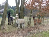
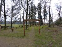
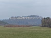
This was a good opportunity to visit both the 50 14 graticule and the Festung Königstein (Königstein Fortress, one of the largest hilltop fortifications in Europe. I took the train at 11:32 to Pirna, from there the bus took me to Leupoldshain. I walked through that village, past the camping ground and along the edge of the forest towards the hashpoint. Just before I reached the spot I had to walk past an enclosure where four alpacas were living. They seemed to be interested in geohashing, as they walked towards me up to the fence. Because I didn't want to be spit at, I kept my distance. One minute later I was at the spot, in the middle of a meadow. From the hashpoint I could see the Festung Königstein, the steep walls were impressive even from the distance. But I had to get there first. On my way back to Leupoldshain I took a look at the Walderlebniszentrum ("forest experience center") where children and adults can learn about the forest: I saw an area with different forest-y things to walk barefoot on, boards showing how a tree works and so on. Then I was back in Leupoldshain, where I took a small shortcut along a tiny trail that suddenly was blocked by a wire, so I had to cross a farm's yard to continue. Beyond Leupoldshain one of the forest tracks that led to Festung Königstein started.
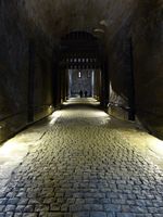
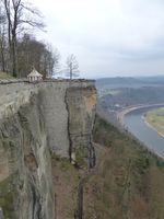
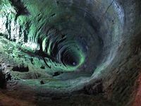
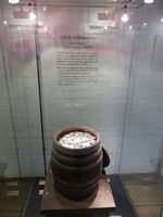
The walk to the fortress was no problem and the slope of the hill itself was no challenge. Then I stood in front of the fortress walls. Wow, those are huge (up to 42 meters!). I don't want to have to attack this fortress. I payed the entrance fee and made my way through the rampart, beginning with a long and steep roofed corridor that included lots of possibilities to throw stones or hot pitch at me. I really don't want to have to attack this fortress. In the fortress proper I was able to see the large earthen mounds that protected the barracks, storage vaults and other casemates from artillery. I'm sure there were worse places to be stuck during a battle. I circled the whole of the rampart. Being this high above the Elbe valley (240 meters), I had a great view. I also made a tour through some of the exhibition rooms that showed e.g. cannons; to the Saxon emergency treasure vault, where sometimes large amounts of money were kept in heavy barrels; and to the castle well, the fourth deepest in the world at 152.5 meters. The fortress was very interesting but after a while I left, walking to the city of Königstein and taking the train home from there.
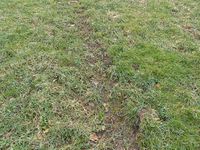
| coordinates reached, Festung Königstein in the background
|
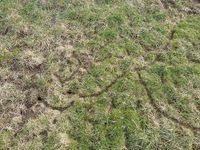
| trails in the grass, probably from mice
|
| "forest experience center" near the hashpoint
|
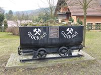
| Sowjet/East German uranium mining location from Wismut
|
| Festung Königstein seen from the hashpoint
|
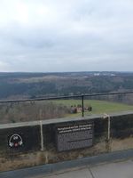
| hashpoint seen from Festung Königstein
|
| note the tiny people and cannon on the rampart
|
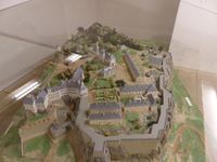
| model of Festung Königstein
|
| Festung Königstein castle well, depth 152.5 m
|
| Medieval money barrel for 10000 thaler coins (about 223 kg of silver)
|
| panorama view from Festung Königstein over the Elbe and the Lilienstein hill
|
| hand-completed 360° panorama from Festung Königstein
|
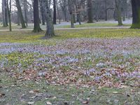
| spring flowers in the Großer Garten in Dresden
|
|
tracklog
will follow
