2015-03-05 51 9
From Geohashing
Revision as of 22:42, 5 March 2015 by imported>GeorgDerReisende (expedition report for Calden-Westuffeln)
| Thu 5 Mar 2015 in 51,9: 51.4277491, 9.3520480 geohashing.info google osm bing/os kml crox |
Location
The hash lay on the hill Wartberg between Calden and Westeruffeln.
Participants
Plans
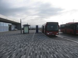
To travel by tram and by bus to Kassel International Airport and walk to the hash.
Expedition
 |
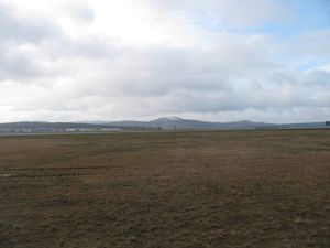 |
Again I travelled by bus to the Kassel International Airport and started to walk. While on my last expedition to this region, 2015-02-25 51 9, there was a lot of snow in the woods, today I saw the last snow on the mountains in the background. |
 |
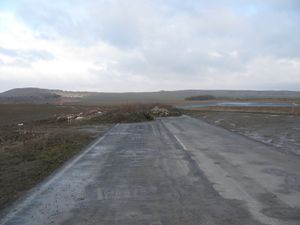 |
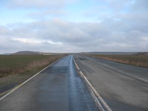
On the map I saw, that there were parts of the old national road and I tried to use these parts to reach the hash. But the road ended in nowhere. And there was only a very muddy edge of a field to continue. In the background on the left side you see the Wartberg. |
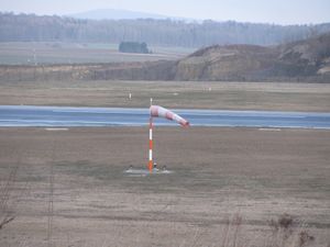 |
But I saw a lot of wind. As long as I walked outside the forest, there was a cold wind blowing. Nearly I got a cold. | |
 |
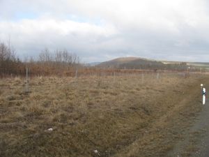 |
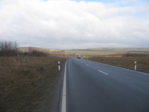
So I returned to the new national road and walked along it. I passed near 2014-04-30 51 9, the shortest distance was 48 meters. |
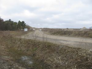 |
Again I could walk along the old road. There I passed the entrance to a limestone quarry. This company looked like, that it produces that gravel, which makes the muddy forest ways hard. My way led me to the side of it, so I hadn't a better view. | |
 |
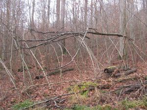 |
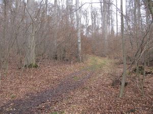
Then I entered the forest and there were the usual muddy ways. At first I walked along a way parallel to the national road, but just where the hash should be, there was a muddy forest way uphill. I followed it. At one place I saw this dangerous looking part of trees. And here there were only 35 meters to go, through this 'gate'. |
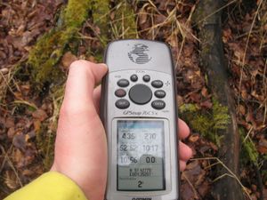 |
At this time there I walked more or less zigzag through small trees, always uphill, with some sort of muddy ground. But then I got the two meters mark. | |
 |
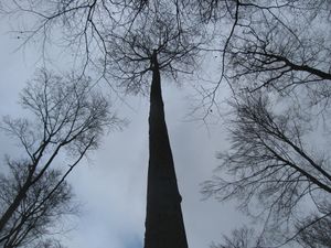 |
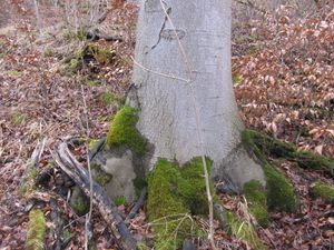
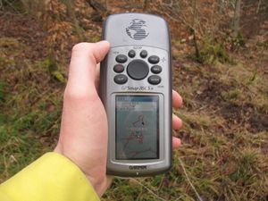
As I walked along the shown way, I decided, it could be ok to say, I reached the hash and while the gps told me, the hash is two meters away, it was this tree. But then I thought I can do this better and tried to dance around. But that was too dangerous: |
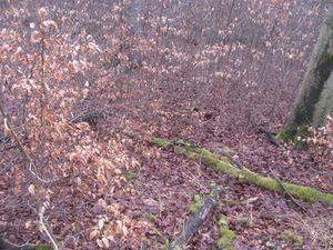 |
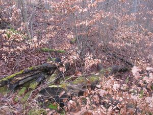 |
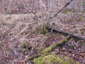
|
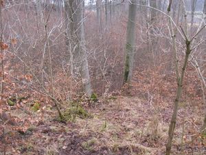
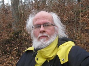
| I climbed uphill and found another forest way. From there I took those photos. The proof of my way, at one time I had passed the hash, but I don't know when and where. A view to the hash from above. The geohasher. | ||
 |
 |
|
 |
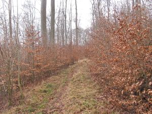 |
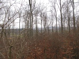
Then the usual lookaround: to the south, to the west, |
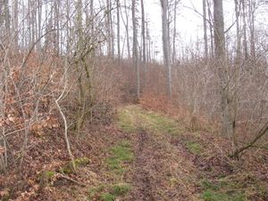 |
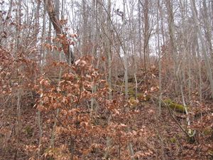 |
to the east and to the north. |
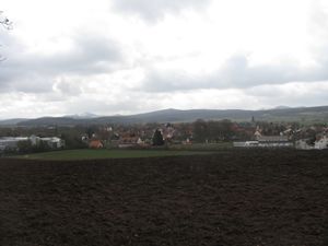 |
Afterwards I walked along this newly found forest way to Westuffeln. Sometimes it was good to walk, sometimes it was very muddy. You know these ways. | |
 |
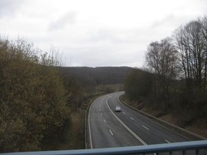 |
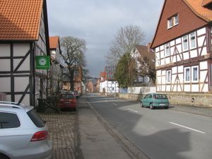
After a walk throung Westuffeln I travelled home, to Calden by hitchhiking, from there by bus. The photos show the old road, through Westuffeln, the Holländische Straße (road to Holland) and the new road, around Westuffeln. |
Tracklog
Achievements
GeorgDerReisende earned the Land geohash achievement
|