2015-07-01 51 9
From Geohashing
Revision as of 22:22, 1 July 2015 by imported>GeorgDerReisende (expedition report for Großalmerode-Weißenbach)
| Wed 1 Jul 2015 in 51,9: 51.2565934, 9.8448728 geohashing.info google osm bing/os kml crox |
Location
The hash lies on the hill in the west of Weißenbach.
Participants
Plans
Hitchhiking and walking.
 |
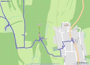 |
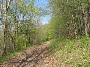
On my walk to 2015-04-23 51 9 I passed the pass of this hill between Weißenbach and Uengsterode. I took a photo of this forestway. Today I found out, that today's hash is only 107 meters away. Too dumb for not going. (Yesterday or tomorrow.) |
Expedition
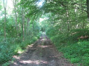 |
I started at home at 8 o'clock and started to hitchhike at 8:45. After some minutes a car stopped and I got a direct lift to Weißenbach. I walked into the forest on that forestway I found at the last expedition (2015-04-23 51 9). | |
 |
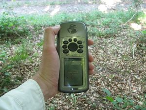 |
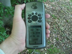
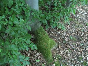
I found the hash some meters above the way. While I danced around, the pointer changed back and from the way and the tree. |
 |
 |
The hash and the geohasher. And I looked around. |
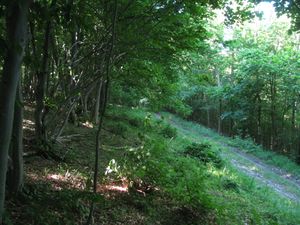 to the north to the north |
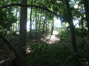 to the west to the west |
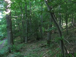 to the south to the south
|
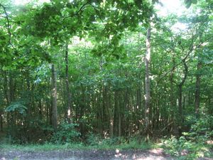 and to the east and to the east |
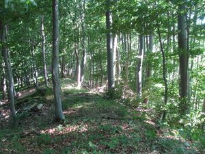 |
Then I walked up to the rim of the hill and tried to look down, but there were only trees and no view. |
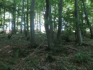 |
Then I wrote a mark onto a tree. | |
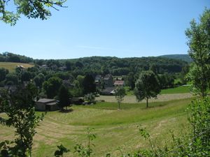 |
Weißenbach from above. |
Achievements
GeorgDerReisende earned the Thumbs Up Geohash Achievement
|