File:2011 02 19 53 -1 Plan.png
From Geohashing
Revision as of 23:21, 18 February 2011 by imported>Monty (Maps, maps, maps. And one of them aint from the Internet. Category:Xkcd markers Category: Meetup on 2011-02-18 Category: Meetup in 53 -1)
No higher resolution available.
2011_02_19_53_-1_Plan.png (640 × 480 pixels, file size: 622 KB, MIME type: image/png)
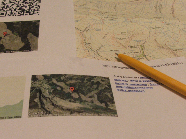
Maps, maps, maps. And one of them aint from the Internet.
File history
Click on a date/time to view the file as it appeared at that time.
| Date/Time | Thumbnail | Dimensions | User | Comment | |
|---|---|---|---|---|---|
| current | 14:23, 30 January 2020 | | 640 × 480 (622 KB) | Maintenance script (talk | contribs) |
- You cannot overwrite this file.
File usage
The following page links to this file: