2008-07-12 42 -71
| Sat 12 Jul 2008 in 42,-71: 42.6128965, -71.2604917 geohashing.info google osm bing/os kml crox |
About
This geohash is located in the Boston, Massachusetts graticule in the middle of Rogers Street near the intersection with Pike Street in Tewksbury, MA.
4:00pm Meetup
Expeditions
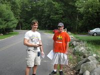
At least three people arrived at this hash near the appropriate time of 4:00pm. Cris arrived first at approximately 3:50PM. Cris only lives a few miles away so it was easy for him to get there. Sonny arrived next from Nebraska at approximately 4:05PM. Jordy arrived at about 4:20PM and thankfully brought a GPS. Unfortunately, Skip and Chan arrived together after the others had left and could not find the marks the others had left. After a while of waiting around, they, too, left, disappointed.
Activities
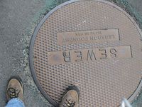
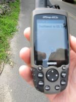
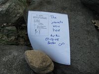
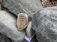
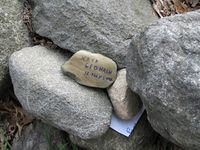
Prior to Jordy's arrival with the GPS Cris and Sonny agreed that the sewer cover in the middle of the rode would suffice as the actual geohash point. The cover was marked and photographed. After Jordy arrived the actual point was determined to be a few feet away closer to the side of the road. A printout of of XKCD comic 331 was autographed, signed and placed in the nearby stone wall. In addition a small rock was tagged, phtotographed and placed unobtrusively in the rock wall.
Photographs
- The Big Meetup
