2024-12-21 -37 145
| Sat 21 Dec 2024 in -37,145: -37.6789452, 145.1395403 geohashing.info google osm bing/os kml crox |
Location
In a small park in Diamond Creek, outer north east of Melbourne.
Participants
Expedition 1:
Expedition 2:
Expedition 2 (Stevage)
Yesterday I rode 70km home from Emerald, a picturesque town on the far side of the very hilly Dandenongs. So I really don't need another big big ride today. Until the day's geohash shows up, and suddenly an expedition is an inevitability. As luck would have it, I'm also going to a party out in the same direction, so I can link them together. Nice.
It's kind of an awkward place to get to by bike path, without doing a big detour south to follow the Yarra Trail first. In the end I plot a path due east through Thornbury along Christmas St, then through the streets of Ivanhoe.
The traffic is unexpectedly light, so I save a bit more time by sticking on Heidelberg Road, over the iconic cutting and eventually cutting down to the trail. There's this funny little road, asphalt but potholed and repaired to a comical degree. It's rougher than almost any gravel road.
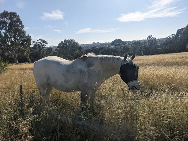
The trail leads uneventfully to the Plenty River Trail, with its sudden climb up to glorious views across Melbourne in almost every direction. It's sunny but with a cool breeze and feeling pretty fantastic. I stop to take a photo of a pony for KT, but an electric fence makes it hard to get any good pats in.
The further north I go, the less familiar the trail is, until I reach places I really don't think I've ever been. It's gorgeous, though the trail itself is pretty rough.
At an unremarkable spot near a sports oval I suddenly have to begin climbing a big hill. Briar Hill. A suburb I'd never heard of. The real work has begun.
Up and down a few more hills and negotiating a few busy roads and we're homing in on the point. A strange suburb of houses that want to appear fancier than they really are and cute tucked-away little parks.
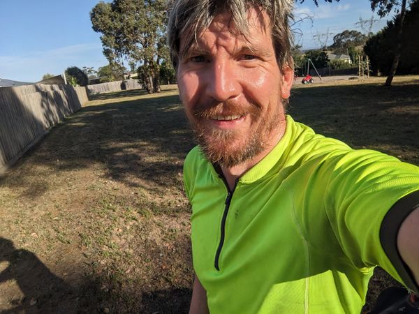
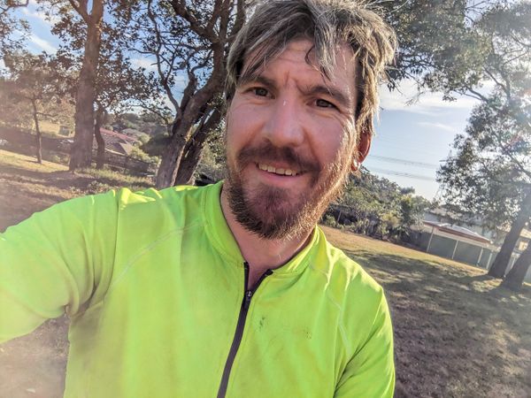
Like the one in question, Cockatiel Place Park (according to Google Maps) or Cassinia Court Playground (according to OpenStreetMap). Barely visible from the street, and buried in amongst the houses. I'm a big fan of this kind of design, maximising people's access to open space.
The spot is easily reached, but can I get to the party? Once again, my phone is very low battery - Strava chews through it.
An overly optimistic route choice has me heading through some streets that don't appear to connect on the map. But surely they do, right? And the streets marked as "under construction" on OpenStreetMap - that's just out of date data, right?
No. I descend a big hill only to run into a large housing estate under development. There's no way through, and dejectedly I trudge back up, to make my way along the Greensborough Bypass trail. I manage to miss one more turnoff and throw in an extra bit of climbing. I eventually reach my destination, phone hovering around 3% charge, and my energy levels feeling much the same.
Photos
Achievements
Stevage earned the Bicycle geohash achievement
|


