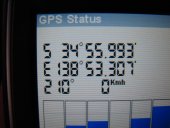
2008-10-02 -34 138
From Geohashing
Revision as of 00:09, 8 August 2019 by imported>FippeBot (Location)
| Thu 2 Oct 2008 in -34,138: -34.9332127, 138.8884438 geohashing.info google osm bing/os kml crox |
Location
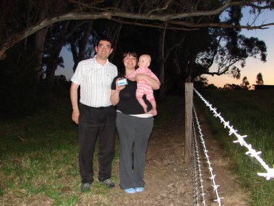
On the side of Kayannie Road, just off Onkaparinga Valley Road, north of Woodside. Thankfully the hashpoint was on the road side of the barbed wire fence.
People
Beck, Paul and Pat (who loves drives)
All attendees earned the Land geohash achievement
|

