Graticule
Athens
About
Expedition
Gallery
- Photo Gallery
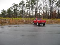
The ride looking north west the direction that I need to hike to find the hash point.
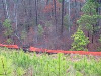
Looking down the steep incline. Probably a good 50 feet down.
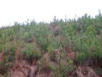
Looking back up the incline.
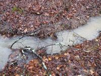
I needed to go until I found what looks like on google maps to be either a stream or a road. I found the stream.
A picture of the water fall. Notice the truck bumper also. What was that doing there?
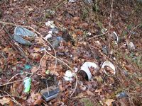
Notice all the trash that was at the river. I picked some of it up.
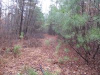
I thought that there might be a road that followed the river. This is it.
I calculate from the Google map that the hash point is about 75 feet from the river and road. It is that direction. That should get me within the required 10 meters.
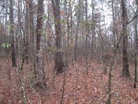
Me standing on the hash point.
Looking South East at the hill that I had to come down. I wanted to make sure that I am in the correct spot.
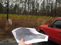
This is how I made sure I was going the correct direction.
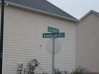
A picture of the cross streets.
Achievements
Template:Virgin graticule
