File:2009 04 18 52 4 gps reading.jpg
From Geohashing
Revision as of 08:28, 19 April 2009 by imported>Jorisslob (notes about image retouching)

Size of this preview: 800 × 596 pixels. Other resolutions: 320 × 239 pixels | 1,588 × 1,184 pixels.
Original file (1,588 × 1,184 pixels, file size: 104 KB, MIME type: image/jpeg)
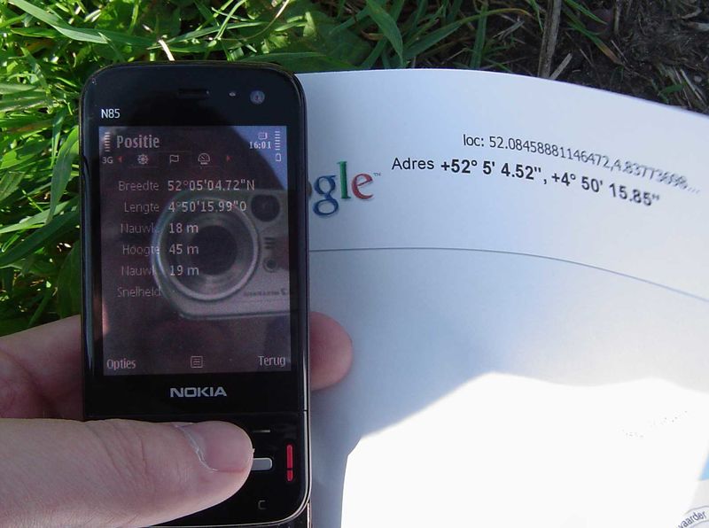
A print-out of Google Maps and my GPS reading on my phone, including the time of the reading.
PS. Apart from the normal resize and low quality settings, I also modified the light levels on the display of my phone in an image editing program. Without it the actual reading was hard to read.
File history
Click on a date/time to view the file as it appeared at that time.
| Date/Time | Thumbnail | Dimensions | User | Comment | |
|---|---|---|---|---|---|
| current | 15:21, 30 January 2020 |  | 1,588 × 1,184 (104 KB) | Maintenance script (talk | contribs) |
- You cannot overwrite this file.
File usage
The following page links to this file: