2009-07-04 50 10
| Sat 4 Jul 2009 in 50,10: 50.6922982, 10.6337631 geohashing.info google osm bing/os kml crox |
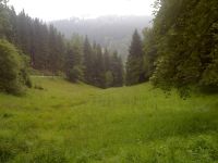
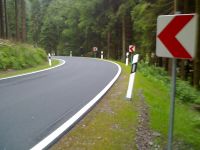
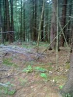
This geohash was located in an idyllic valley in the Thuringian Forest. Unfortunately Manu had only very few time to visit the hash point as she followed Reinhard. He was attending the first Quaeldich-Deutschlandrundfahrt (later he and about 100 other bikers passed by the hash in a distance of only two hundred metres) and so between meeting him at the start in Erfurt and at the first supply station at Schmücke there remained only about an hour for driving 90 km and visiting the hash... As the hash point lay directly beside the road Manu decided to try it: Getting there was no problem and only hundred metres away she could park her car. Then she ran the way back and entered the forest, where the exact coordinated could be found easily. Quickly Manu took some pictures with her mobile phone (that's why they are very blurry), ran back to her car and left a place which would have been ideal for a picnic achievement.
---Manu
- Photo Gallery


