2009-08-08 50 10
| Sat 8 Aug 2009 in 50,10: 50.5645846, 10.4527411 geohashing.info google osm bing/os kml crox |
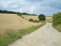
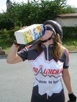
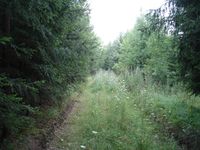
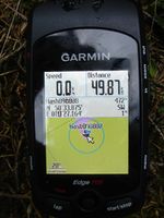
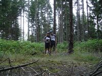
Manu and Reinhard spent their weekend in Schleusingerneundorf at Manu's parents, from where the Saturday hashpoint in a forest near Meiningen was within reach for a bicycle geohash. In the afternoon the sun came out and thus Manu and Reinhard started their bike tour. Because, as usual, Reinhard was interested in recording GPS tracks of unknown roads they decided to check out the road between Vachdorf and Jüchsen which was a yellow road in Google maps! It turned out, that it was nicely paved on the first half up the hill, but was a really bad gravel road down to Jüchsen, where at some passages the both even couldn't ride their road bikes. Though they hadn't yet done the way to the hash, their beverage bottles (Manu and Reinhard both had two 0.75 liter bottles) were getting considerably emptier, so that they got a 2 liter package of ice tea in a supermarket in Jüchsen. From Jüchsen they continued their way directly to the hashpoint, coming through Meiningen. The road close to the hashpoint lead onto the Rohrer Berg (hill/mountain of Rohr). There they firstly had to continue on a (rideable) gravel road for about 700 m and then had to turn towards an other path pointing almost directly to the hashpoint. Bad thing about it was, that this path obviously hadn't been used at all for several years, so there were headhigh weeds, mostly barbed, growing in the middle of it. Meanwhile the sky had gotten darker and to Manu's and Reinhard's annoyance it also began to rain. After pushing their bikes for about 100 m on that path, Reinhard decided it would be better to deposit the bikes besides the path in the wood and just walk the remaining 400 m. That turned out to be tough enough, in fact. Anyway, in the end Manu and Reinhard reached the hashpoint 40 m besides the path, took some photos with the little Foxi and Schnauzi and then headed back home on a different route via Suhl (altogether 92 km by bike).
- Photo Gallery
