2009-09-11 42 -70
| Fri 11 Sep 2009 in 42,-70: 42.9105008, -70.9991580 geohashing.info google osm bing/os kml crox |
After Manu and Reinhard successfully conducted their 1st geohashing expedition on American ground, they weren't that much under pressure to do further expeditions. Nevertheless, they looked up the coordinates that morning, before they left Boston and went on a weekend trip to the Acadia National Park in Maine together with Reinhard's sister and her husband (who took their own car, because they wanted to come back independently). Two hashpoints were close enough to I-95 and I-295 to go for a double hash expedition!
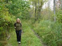
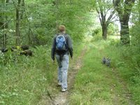
The 1st one seemed very close to a small road in a forest southwest of Exeter, NH. When they got there, the Fish Road appeared to be not paved, so they parked the car at the beginning of that road and decided to walk the rest to the hashpoint which was less than 1 km. When they passed a couple of houses, the road get worse, but was good enough for walking. The surroundings were quite swampy, but it was okay, when they had to leave the path for the last 50 m. Jumping over some puddles Manu, Wischi and Reinhard eventually arrived at the hashpoint.
On the return path, a small group of wild turkeys lead the way, passing the houses. Manu neither wanted to endanger them by chasing them to the major road nor wanted to take them with us in the car (maybe for dinner?), so she started a surprising overtaking maneuver which made them turn around. Not having had a good breakfast they headed on to search for lunch in Exeter and found a place that they considered as the typical American 20th century small-town restaurant. After eating sandwiches and chef salad they went on to their 2nd geohash expedition that day.
- Photo Gallery
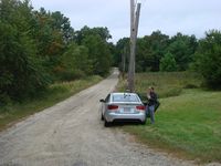
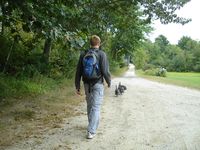
Parking the car ...
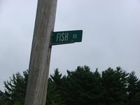
in Fish Road.
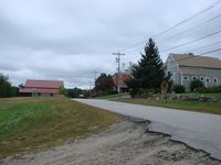
Houses at the junction.
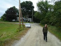
Let's go!
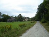
Lonely houses we passed on Fish Road.
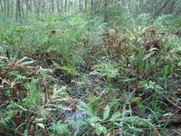
Swamps beside the road.
In Germany those "roads" wouldn't be displayed in Google Maps.
It'll be getting Indian summer.
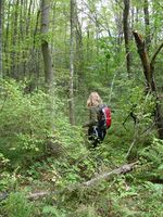
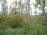
Manu leaving the road.
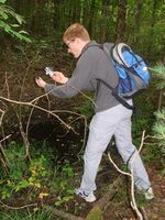
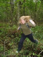
Reinhard preparing for taking the perfect proof picture.
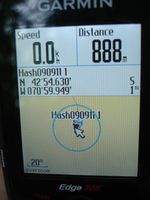
Not perfect, but only 1 m.
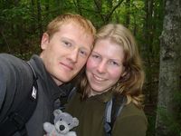
Three happy globetrotters.
Swamp-jumping, Wischi-rescuing Manu.
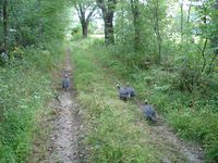
Wild turkeys ...
... leading the way ...
... back to the car.
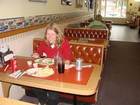
American lunch in Exeter, NH, on our way back to the I-95.


