2009-11-02 33 -84
| Mon 2 Nov 2009 in Atlanta: 33.6724908, -84.3276177 geohashing.info google osm bing/os kml crox |
Graticule
About
Inside the interchange from Interstate 285 and Interstate 675 in South East Atlanta.
Expedition
LuxMundi
NWoodruff
As I was driving south on I-75 south heading in to Atlanta, my original path was around the outside ring of I-285 going west. As I came upon I-285 from I-75 South there is a traffic sign that said I-75 to 10th street downtown Atlanta +50mph, I-285 West to I-20 West <25mph.
My path quickly changed to instead of taking I-285 to driving into Atlanta, taking I-85 to I-285 east. It turned out to be much faster that way. I was actually hoping that I could get there before it got dark. I had left work right at 5pm and I knew it would be getting dark right at 6pm. One hour to go 22 miles? Possible. Well, if this was Macon Georgia Traffic or maybe even Augusta Georgia traffic.
Well, it didn't happen before dark. I did notice that today is a full moon and I could tell that it is rising in the sky as I was driving to the hash spot. I had set my eTrex to give me directions to the Geohash spot. The entire time that I was driving through Atlanta, it kept point west telling me that I was very off course. As I turned onto I-285 from I-85 South the eTrex was soon again giving good directions.
I saw the road sign for I-675 approaching and my eTrex kept saying that there was another 3 miles. I almost decided to turn on to I-675 and find my way from there. I decided against it and quickly noticed that the on ramp to I-675 from I-285 east is almost a mile long.
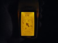
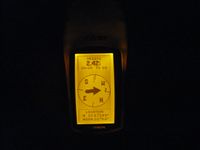
As I was 1/2 mile from where I-675 feeds into I-285 I could see the over pass bridge. I started to slow to about 50mph down from the 80mph everyone else was driving. I hit the brakes hard and turned on to the emergency lane at 0.1 to go. My truck came to a stop and I noticed that my eTrex said that I had 250 feet to go. That was a good place to stop.
With traffic as heavy as it was, I didn't dare open the drivers side door, instead I slid across the seats and exited my truck through the passenger side vehicle.
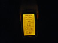
I was hoping that this interchange was a lighted interchange. I know that the interchange of I-85 and I-285 on the North side of Atlanta is a lighted interchange. Well, this one is not. I was not in luck with that, but, I was in luck that it was a full moon and that provided enough light to be able to climb up the steep hill. I took a picture of my eTrex as I stood by the side of the road and decided to go for it.
I really should invest in a flashlight now that it starts to get dark by the time that I leave work.
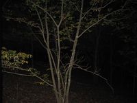
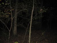
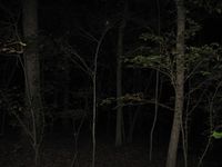
The hash point was about 50 feet into the woods. The woods were not thick dense woods. I did run into a few unseen branches though. I could hear rustling of leaves as I walked deeper into the woods. The deeper I went in the darker it got. The rustling was probably of small animals that were not expecting human visitors to that spot.
I was half expecting to find a deer or two as this would be a perfect area that humans were not likely to visit and there is plenty of space to live in, several acres of untouched land. There were none that I saw though.
I found the hash spot without tripping over anything. I took a few pictures and then made my way back to my truck.
I got in the truck through the passenger side. I started the truck up and I had to wait a few minutes for an opening in traffic to be able to merge onto I-285. I don't have a speed monster when it comes to a truck. 0-60 takes about a day and a half.
I then made my way back to Norcross.
Gallery
- Photo Gallery
Achievements
NWoodruff earned the Land geohash achievement
|
NWoodruff earned the Consecutive geohash achievement
|
