File:2010-07-19 52 0 cambridge.jpg
From Geohashing
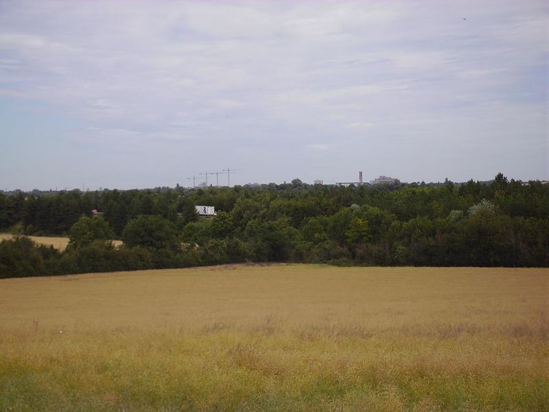
Revision as of 18:59, 19 July 2010 by imported>Benjw (Looking more or less north from the path leading to the field, towards Cambridge. The buildings and the tower are Addenbrooke's hospital on the edge of the city, about 4.5km from the hashpoint. The vehicles in the trees are on the M11 motorway. [[Catego)

Size of this preview: 800 × 600 pixels. Other resolutions: 320 × 240 pixels | 1,152 × 864 pixels.
Original file (1,152 × 864 pixels, file size: 107 KB, MIME type: image/jpeg)
Looking more or less north from the path leading to the field, towards Cambridge. The buildings and the tower are Addenbrooke's hospital on the edge of the city, about 4.5km from the hashpoint. The vehicles in the trees are on the M11 motorway.
File history
Click on a date/time to view the file as it appeared at that time.
| Date/Time | Thumbnail | Dimensions | User | Comment | |
|---|---|---|---|---|---|
| current | 14:26, 30 January 2020 | | 1,152 × 864 (107 KB) | Maintenance script (talk | contribs) |
- You cannot overwrite this file.
File usage
The following page links to this file: