2010-08-21 60 10
| Sat 21 Aug 2010 in Gjøvik: 60.0014348, 10.7931139 geohashing.info google osm bing/os kml crox |
Location
Woodland, just north of Oslo.
Participants
Plans
Blóðøx plans to take the bus to the Maridalen vally just north of Oslo, then walk for about 2.5 km.
Expedition
Blóðøx
I took the bus to the Maridalen valley, around 30 minutes from downtown Oslo. A few minutes later, Snoken arrived on his motorbike. We walked for about 25 minutes along a small backroad, until we were ~400 meters from the hashpoint.
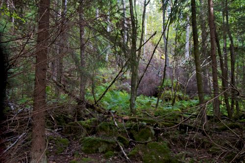
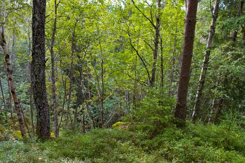
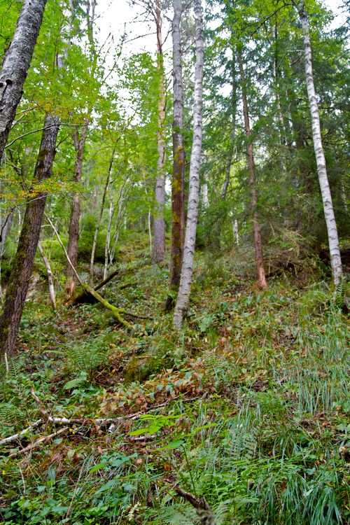
The last 400 meters were tricky. The forest turned out to be way more dense than I had anticipated, and the terrain was also quite marshy. Snoken led the way over some small rivers and up a steep slope. At the top, we walked for some hundred meters to the north, and then found out that we needed to go downhill again. The forest floor was very wet and slippery, and I was slightly afraid at times to fall and break a leg or a wrist. However, we survived, and the hashpoint was eventually reached.
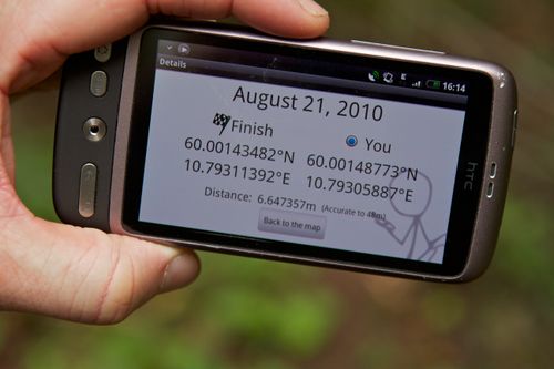
At the hashpoint, I had a can of Carlsberg (Danish beer). After 30 minutes of deserved rest, we started walking back. We decided to take an alternative route back because of the steep terrain. However, the alternative route turned out to be through a marsh, and it wasn't really any more convenient than the rocky route.
Back at the main road, I found out that I just missed my bus, and I had to wait for 55 minutes in the middle of nowhere before I could get home. :-(
Snoken
After repeated nagging by Blóðøx to join geohashing, I finally conceded. I left for the expedition about an hour after Blóðøx, and met up with him about a half a mile of the main road, where I parked my bike and resumed on foot - in spirit of solidarity.
We were about 400 meters away from the hashpoint when the dirt road was abruptly barricaded by an unfriendly 'Do not trespass' sign, so we took to the forest. We seemed to have the choice between a very unused tractor-path turned bog, and a forest with a dense understory. At this point the cellphone and GPS coverage was nearly gone, so we were lacking a bit in navigation, and chose the forest.
After reaching a pretty steep ridge in the forest, we (I, but Blóðøx did not protest loudly enough) decided we needed to climb it. About 200 meters further north, we climbed back down.
We were then directly at the hashpoint and my trusty companion relaxed with a beer and a cigar while lamenting his more or less ruined suit (wearing a light grey suit when geohashing in the Norwegian forest??). I was busy forgetting to take pictures of our trek.
We took the more direct route back to the road but wading through the tractor-path, filling two pairs of shoes in the process. I offered Blóðøx a ride to the bus-stop with my motorbike, but he declined. I arrived home about two hours before he did.
Photos
Achievements
Blóðøx's Achievements
Blóðøx earned the Drag-along achievement
|
Snokens's Achievements
Snoken earned the Land geohash achievement
|
