2010-09-19 50 10
From Geohashing
Revision as of 18:37, 20 September 2010 by imported>Reinhard (→Photos)
| Tue 20 Jul 2010 in 50,10: 50.8567894, 10.8487759 geohashing.info google osm bing/os kml crox |
Location
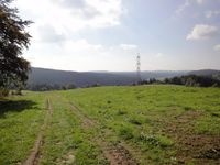
Close to a track near Waldau in the Thuringian forest.
Participants
Expedition
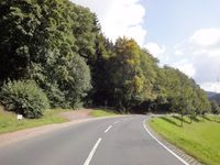
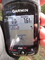
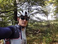
Manu and I spent the weekend at Manu's parents in Schleusingerneundorf. When I saw that the geohash was just two villages further and looked reachable, I knew I had to ge there after two months of geohash-idling. Sadly, Manu couldn't accompany me, because she didn't bring her bike, so I did the 33 km round trip through Hinternah, Waldau, Steinbach, Frauenwald and Schmiedefeld alone between brunch and lunch. In Waldau I left the road for a forest path that lead directly to the hashpoint. It was only 10 m through brushwood, where I got to the exact coordinates.
Photos
|


