File:2011 02 17 53 -1 PreliminaryMap.png
From Geohashing
Revision as of 18:22, 16 February 2011 by imported>Monty (Collage of preliminary planning maps, to be replaced by own photos (if/)when available.)
No higher resolution available.
2011_02_17_53_-1_PreliminaryMap.png (286 × 215 pixels, file size: 60 KB, MIME type: image/png)
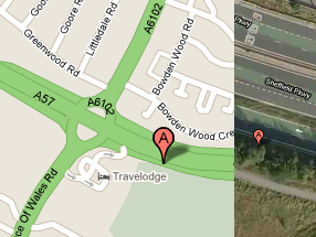
Collage of preliminary planning maps, to be replaced by own photos (if/)when available.
File history
Click on a date/time to view the file as it appeared at that time.
| Date/Time | Thumbnail | Dimensions | User | Comment | |
|---|---|---|---|---|---|
| current | 15:33, 30 January 2020 | | 286 × 215 (60 KB) | Maintenance script (talk | contribs) |
- You cannot overwrite this file.
File usage
The following page links to this file: