Location
Les Arcets, Prémanon, France
Participants
Expedition
After a nice ski day at La Dôle, we were on our way back when suddenly a thought crossed my mind - I had a doubt about today's hash location. So I parked the car 20m before the border, and opened anthill on my cell phone. Indeed! The hash was just 5km (in a straight line) from our current location. The ways there looked like forest paths, and I briefly considered they may be covered with ice, but as usual, once I realized there was a possibility the expedition would succeed, it was too late to forget it... So we did a u-turn, and let my phone direct us as close as possible.
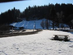
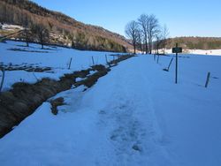
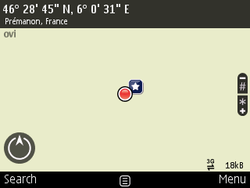
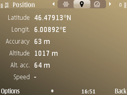
Despite the large amounts of ice left on the tracks, it was fortunately not as bad as what I've experienced before. Eventually at some point it was clear we could not continue unless we found a way to turn our car into a snowmobile. We are not Daniel Morales, so we continued on foot and reached the coordinates around 16:50.
Photos
| no way to drive the last 950m |
|


