2012-05-02 40 -105
| Wed 2 May 2012 in 40,-105: 40.8486950, -105.4953380 geohashing.info google osm bing/os kml crox |
Location
In a field just south of Prairie Divide Road, about 6 miles northeast of Red Feather Lakes, CO
Participants
Plans
The hash point looks to be on public USFS land according to the county parcel locator, so I plan to go there this evening.
Expedition
I made it to the hash point! Full narrative to come...
Photos
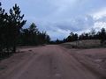
The main road near the hash point
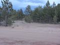
The side road that led toward the hash point
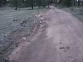
The side road was a tad uneven...
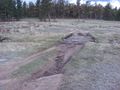
Then it became a pile of logs atop a mud pit
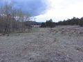
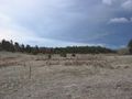
The hash point should be in this field...
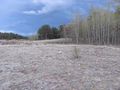
There it is!
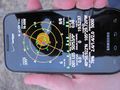
The proof

My Stupid Grin™
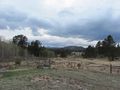
The view to the west-southwest from the hash point

The view to the north-northwest
The view to the east
- Error creating thumbnail: Unable to save thumbnail to destination
A mysterious pool of water
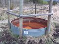
A mysterious rusty, empty pool
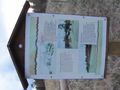
An informative sign about a former mine near the hash point

Proof of the date for land geohash achievement


Achievements
Squenes earned the Land geohash achievement
|