Location
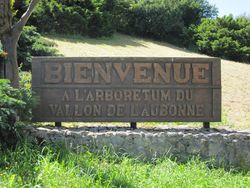
Arboretum National du Vallon de l'Aubonne
Participants
Expedition
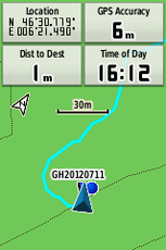
A rather spontaneous expedition - there was not much planning apart from Crox noticing that it would be a worthwile expedition even if the hash could not be reached and printing out a map from http://map.geo.admin.ch/. We grabbed the camera and gps and left for Aubonne, where we parked our car. From there we continued on foot through the very nice Arboretum du Vallon de l'Aubonne.
Tracklog
http://maps.google.com/maps?q=http://gallery.crox.net/gh-20120711.kmz
Photos
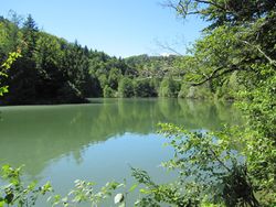
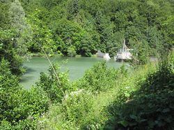
| artificial lake for electricity production |
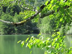
| the bridge we would later cross |
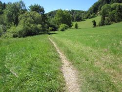
| small path along the lake |
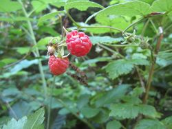
| later we found raspberries |
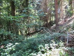
| ... somewhere after the bushes and brambles |
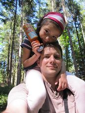
| that's how one of us got there unharmed |
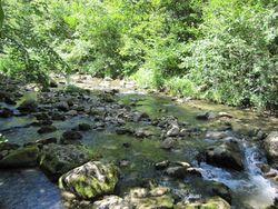
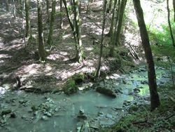
| going back the other way meant crossing the Sandoleyre river by jumping from stone to stone |
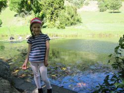
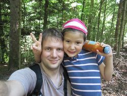
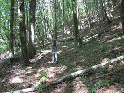
| Elisa enjoys the walk in the forest |
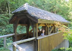
| a wooden bridge that we did not cross |
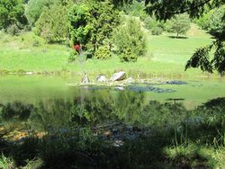
| dam and lake from the other side |
|
