Location
In a forest near Leutra
Participants
Expedition
Two points in a row, I must be crazy. "But the point was too close to miss it." It’s a sentence
Juja must have implanted in my brain.
But indeed, the point was close. There were two options
to go to the point. The first one: Taking the short way to Leutra, parking the bike at the
bottom of the hill and going the last 800 meters on foot. Or the second one: cycling the
long way around the hill and driving from the back side directly to the point.
I had chosen the first option and cycled the way to Maua, that I used to go to work in
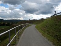
former times. And surprise, surprise, the new bike path beside the B88 between Jena
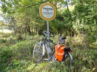
and Maua is opened. I parked my bike on the dirt road that goes from Leutra to Bucha
at the bottom of the hill were the point was on. Today the old rule "The point is
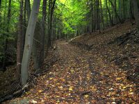
always on top of the hill" had proven true again. So I climbed up the 160 m from
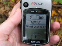
here to the point. (160m up at a length of 800m). The rest was easy. Pictures taken, finished.
Photos
| The new bike path to Maua.
|
| The bike parked at the bottom of the hill.
|
| The path up the hill (gradient of 20 %).
|
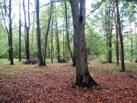
| The area beside the point. No brushwood ...
|
| ... and the point. Brushwood everywhere.
|
|
