2013-04-14 40 -76
| Sun 14 Apr 2013 in 40,-76: 40.5239406, -76.7271735 geohashing.info google osm bing/os kml crox |
Contents
Location
This hash landed on top of a mountain, near a clear cut section of forest.
Participants
Expedition
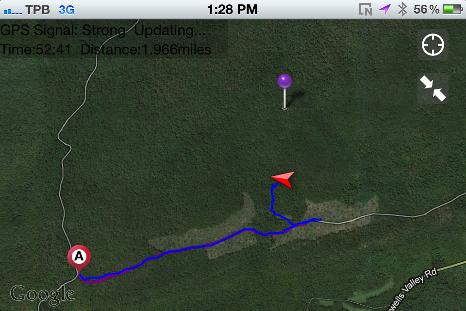
We went to brunch at the [Summerdale Diner] before heading up to the hash point. Oddly enough we had gone to another hash point near the Dehart Dam that we were unable to complete due to an unexpected stream. Roads were steep, and our dog was very excitable as we ascended on our way there. The hashing wasn't very eventful besides us running into some people that happened to be going to the same relative location as us on the trail. There was a cool clear cut area that is used for hunting along with a small deer blind. We wrote in that we were geohashing and that they could find it under this title. as we went off the trail and passed the clearing we ran into brambles. Unfortunately my sisters hadn't thought ahead enough to wear pants, so we had to turn back .35 miles away from the point.
Pictures
Rest of pictures are Here.
