2013-06-05 50 11
| Wed 5 Jun 2013 in 50,11: 50.9976606, 11.6127085 geohashing.info google osm bing/os kml crox |
Location
In a field near Hainichen.
Participants
Expedition
The first plan to catch this point was that I (Jens) will go there alone after work, but the weather was that fine that Juja decided to go there too at lunch break. So we had another chance for coordinated geohashing, and hooray, today it worked.
The only trouble was, that time was short. So I asked Juja about her time conception and the answer was: “I think for me it will take 1:30 hours and in best case, time to take a shower is included.” But we both knew, if I would join her, the best case will not occur. And even the second best case - 1:30 without showering time - is unreachable. But nevertheless at half past eleven we both started for a lunch break on wheels (without lunch, damn).
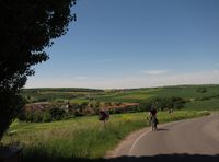
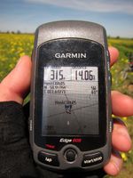
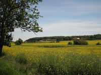
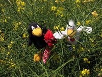
We hurried up to Cospeda and continued via Krippendorf, Nerkewitz to the field near Hainichen. Most of the time I saw Juja from the back side, how she relaxed pedaled at 30% of her maximum power, while I gave 110%. When we reached the target field it happened what we feared about before: The point was covered by an ocean of rape plants. For a short time we thought about entering the field, but the imaginary farmer angel on our shoulders kept us away from doing it. (We ignored the devil farmer on the other shoulder that called us craven, chicken, yellow-belly, …). So we skipped the last 50 meters and were back at work after 1:40 – third best case.
Photos
|
