2013-09-01 64 28
| Sun 1 Sep 2013 in 64,28: 64.2189827, 28.3094025 geohashing.info google osm bing/os kml crox |
Location
Almost on a forest road between Raatesuo and Hevossuo, Sotkamo.
Participants
- Pastori
- The Wife
Expedition
The beautiful Sunday morning lured Pastori and The Wife again to geohashing. The graticule above our own was still unconquered by us, so we headed there. The hashpoint was almost on a forest road, and reaching it would therefore be probably possible.
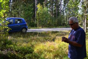
We gathered mushroom- and lingonberry picking equipment and started our expedition about 9 o'clock in the morning. The drive was peaceful and the odometer showed 68 km. The hashpoint was really only 5 meters from the road, with an accuracy of no less than one meter. This point was actually one of the easiest we have visited.
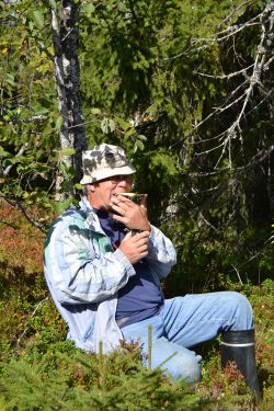
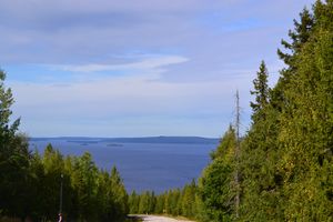
On the way back we admired the views from forested hill Vuokatinvaara, ate some snacks we brought along in the beautiful nature of Kainuu and picked about half a bucket of lingonberries for the winter. We will crush them into jam and it will taste of summer in the middle of frozen days of winter.
Our whole trip was 147 km and it took 5 hours. A really magnificent trip in the nature that already had a scent of autumn in the form of some yellow leaves. Our spirits were elevated and ready for the tomorrow's visit of our own graticule's hashpoint. Stay tuned!
Additional photos
Achievements
Pastori earned the Land geohash achievement
|


