Location
The hash lies at the edge of a field at the east of Espenau-Hohenkirchen.
Participants
GeorgDerReisende
Plans
I wanted to take the tram to Vellmar-Nord and then I wanted to hitchhike to Hohenkirchen, then to walk to the hash.
Expedition
|
|
|
 |
|
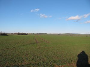
I left home at 13:25, took the trams 1 and 3 to Vellmar-Nord. From there I wanted to hitchhike to Hohenkirchen, but no car stopped. Because of the sunny weather I decided to walk to the hash. I didn't walk along the country road, instead I tried the farmland ways. Here I am 3 kilometers away from the hash.
|
 |
|
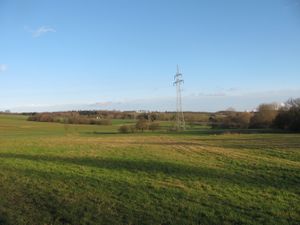
The wonderful wintry weather around here.
|
 |
 |
|
 |
|
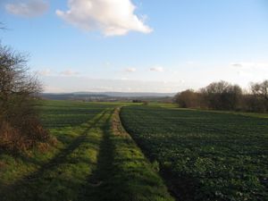
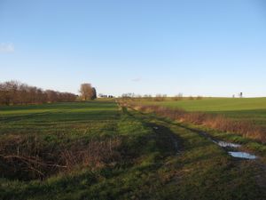
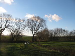
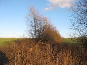
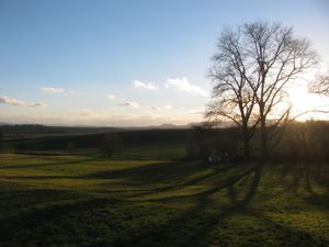
Halfway to the hash I made a break and overwhelmed by the sight I have taken these photos. View to Kassel (the suoth), the way to which I was assigned (the north), the west and the east.
|
 |
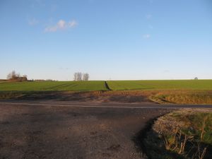 |
After arriving at a county road I had these views: to Kassel and to the hash.
|
 |
|
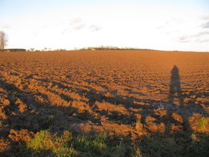
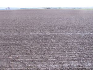
This is the lower side of the field, where the hash was on. I wondered, if the hash would be reachable.
|
 |
|
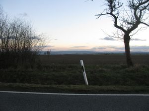
15 meters behind this stake there was the hash. Between the stake and the field was a roadside ditch with some muddy water in it, so I decided to walk to the entrance of the field and cross there the ditch.
|
 |
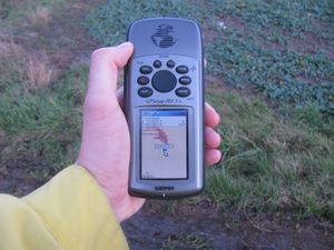 |
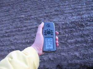
The seventh try of ten gave me the result, five meters away, coordinates reached. I didn't want to walk onto this muddy field, I had enough for today with the muddy fieldways.
|
 |
|
Here it is.
|
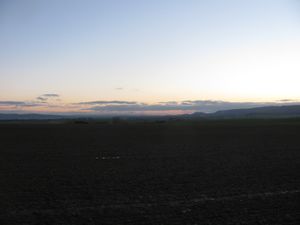 View to the south View to the south |
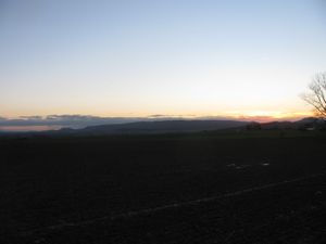 View to the southwest View to the southwest |
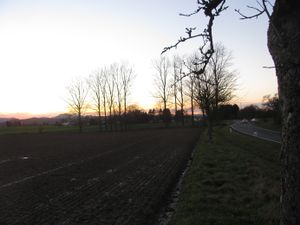 View to the west View to the west
|
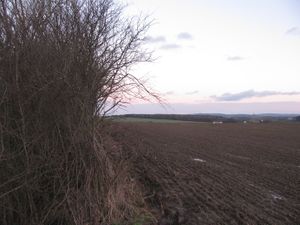 View to the east View to the east |
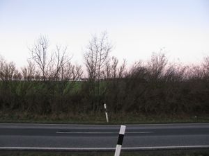 View to the north View to the north |
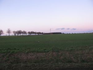 A better view to the north, some meters away A better view to the north, some meters away
|
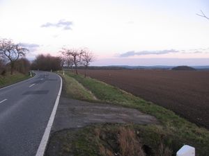 |
|
the situation
|
 |
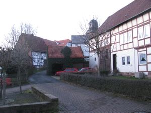 |
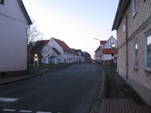
Hohenkirchen: the main street and a part of the old village
|
Tracklog
Achievements


