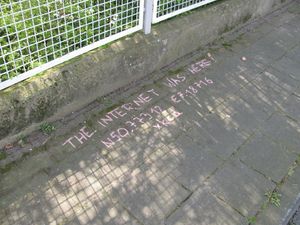
2014-03-30 50 7

From Geohashing
Revision as of 13:23, 8 October 2014 by imported>GeorgDerReisende (typo)
Sun 30 Mar 2014 in 50,7:
50.7731213, 7.1871620
geohashing.info google osm bing/os kml crox


Location

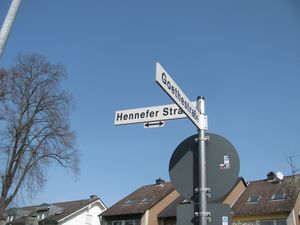
The hash lay at the junction of the streets Hennefer Straße and Goethestraße in Sankt Augustin.

Participants

GeorgDerReisende

Plans

To spend the night at a shelter in Hennef and then to walk to the hash.

Expedition

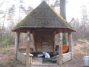
2014-03-30 50 7 GeorgDerReisende 7375.jpg At this shelter I spent the night.
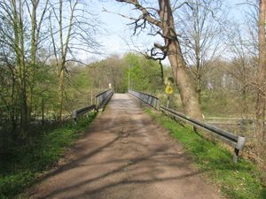
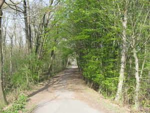
2014-03-30 50 7 GeorgDerReisende 7392.jpg 2014-03-30 50 7 GeorgDerReisende 7400.jpg Then, in the morning, I started to walk to Sankt Augustin. Across a bridge, through a forest...
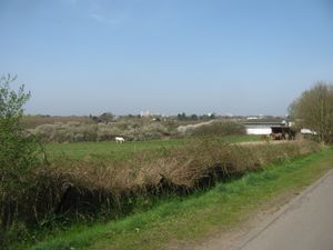
2014-03-30 50 7 GeorgDerReisende 7410.jpg 2014-03-30 50 7 GeorgDerReisende 7415.jpg ... along fields (with horses), then entering the village.
2014-03-30 50 7 GeorgDerReisende 7421.jpg 2014-03-30 50 7 GeorgDerReisende 7426.jpg I found the hash easily.
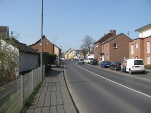
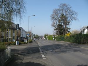
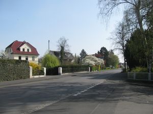
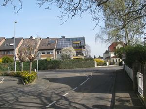
2014-03-30 50 7 GeorgDerReisende 7418.jpg the Hennefer Straße to the west 2014-03-30 50 7 GeorgDerReisende 7422.jpg the Hennefer Straße to the east 2014-03-30 50 7 GeorgDerReisende 7419.jpg the end of the Goethestraße
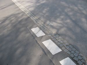
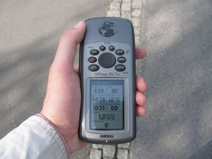
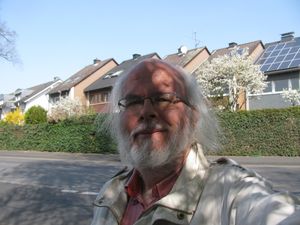
2014-03-30 50 7 GeorgDerReisende 7425.jpg the proof 2014-03-30 50 7 GeorgDerReisende 7427.jpg the geohasher 2014-03-30 50 7 GeorgDerReisende 7428.jpg the mark


Achievements

Walk.PNG
GeorgDerReisende earned the Walk geohash Achievement
by reaching the (50, 7) geohash on 2014-03-30 on foot, travelling a distance of 5.0 km.