2014-04-25 63 28
| Fri 25 Apr 2014 in 63,28: 63.6685405, 28.7238068 geohashing.info google osm bing/os kml crox |
Location
In Pajukoski, Valtimo. The point lies in the forest.
Participants
- Pastori
- The Wife
Expedition
Yippee! It is a festival day. It's Pastori's nameday, and he and The Wife have always celebrated it in some way. So what would be a better way to celebrate than to visit a hashpoint. In our own graticule and pretty close.
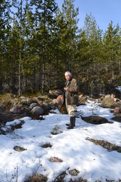
First 20 km by car, and then 366 meters into the forest. The small forest roads have already somewhat melted, so we can drive those with our little car. In the forest there was still snow in patches, we even encountered a knee-deep snow bank.
The terrain was rocky and there were some steep hills we had to climb up and down, so that 366 meters was certainly more like 700 meters. A pretty sweaty job, but the Sun was shining and the birds were singing furiously their spring songs. [Editor's note: "singing furiously" is one of Pastori's favorite sayings.]
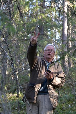
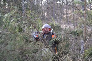
A decent accuracy of about 6 meters was reached in the midst of tall backwood spruces within a nature protection area. Our morning expedition was a success and now Pastori was again free to arm himself to the teeth and throw himself at the huge felled spruces on his home yard in effort to make firewood of them for heating up the sauna.
[A special bonus for those who read this far: There has been published in YouTube a short film about Pastori's geohashing trip last summer. Here it is: https://www.youtube.com/watch?v=g0Unmu6Ce5I ]
Additional photos
Achievements
Pastori earned the Land geohash achievement
|


