Location
The hash lay in a forest west of Adelebsen.
Participants
GeorgDerReisende
Plans
Hitchhiking and walking.
Expedition
|
|
|
 |
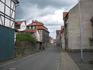 |
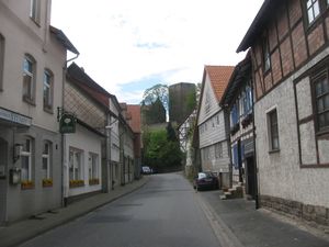
I left home at 10:30, started to hitchhike at 11:30 and after a half hour I got a lift to Göttingen. Along the state road to Adelebsen I needed three cars to reach the village. I arrived there at 13:45. From the first place I had a first view to the castle. And I was in the main street of Adelebsen.
|
 |
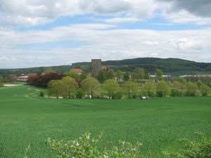 |
I walked outside the village and had a first view to the forest of hash. I didn't search for a direct way and took at first a field way uphill. From the top of the way I had a good view to the castle.
|
 |
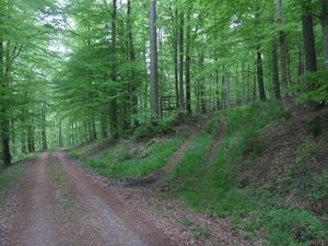 |
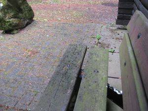
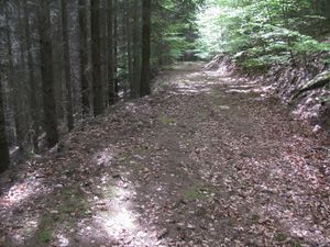
I walked along the fields and into the forest and found a shelter. Just at that moment there happened a short rain. I sat on a bench there and waited for some minutes. Then I went further, now along the forest ways. And I found my way. At the beginning it was a muddy way, like all these muddy forest ways, which we love. Of course, we love them more after a good rainfall.
|
 |
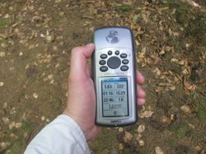 |
I found the hash. After some minutes of dance I got the zero meter mark.
|
 |
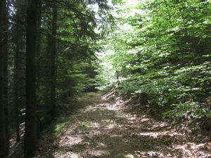 |
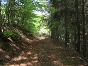
And I looked around. To the way, where I came from. The way from Adelebsen. Maybe the east. The way to Offensen. Maybe the west.
|
 |
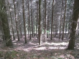 |
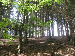
Uphill. Maybe the north. Downhill. Maybe the south.
|
 |
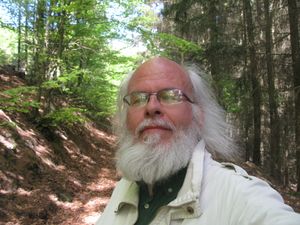 |
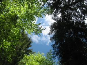
To the sky and to the geohasher.
|
 |
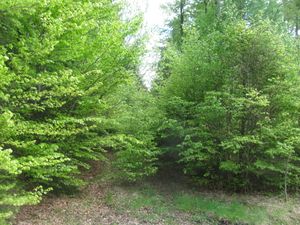 |
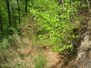
Then I walked the way further. And reached a part of it, where at the beginning grew small trees, later there were bigger trees on the way. Left of the way was a steep down, right of the way was a steep up. In the midth there was a two meters wide tractor lane, but the way was nearly unpassable. If you had come from the other side, would you have taken this way?
|
 |
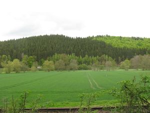 |
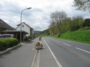
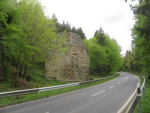
From the geocaching web site I got the information about an old church (ruin) at the state road. I wanted to hitchhike home from that place, but the road was narrow and the traffic very fast. I decided not to hitchhike at this place, so I walked three kilometers along the other side of the valley. And from there I had a view to the hash from the opposite of the hill.
|
Achievements


