2015-05-13 51 8
From Geohashing
Revision as of 19:12, 13 May 2015 by imported>GeorgDerReisende (expedition report for Büren)
| Wed 13 May 2015 in 51,8: 51.5542541, 8.5312650 geohashing.info google osm bing/os kml crox |
Location
The hash lay on a field near Büren.
Participants
Plans
Hitchhiking and walking.
Expedition
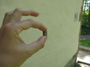 |
I left home at 12:00, started to hitchhike at 13:05, got a lift at 13:50 and arrived at the motorway junction Büren at 14:30 and with an other car at Büren at 14:50. At the beginning of the walk I found the geocache GC2E4A0. | |
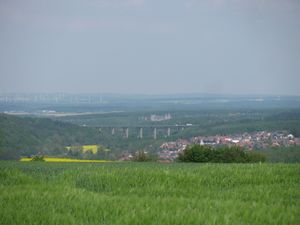 |
Then I walked through the fields to find a way to the hash. At first I had a view to the Wewelsburg and in front of it the motorway A44. | |
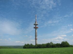 |
Secondly I passed this technical thing. Maybe something like I have seen on the 2015-04-13 51 9-expedition. | |
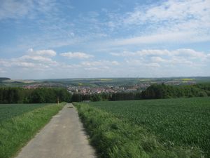 |
Thirdly I had a view to Büren in the valley. | |
| Later, after some walk, I reached the site of the hash. | ||
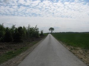 50 meter 50 meter |
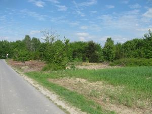 9 meter 9 meter |
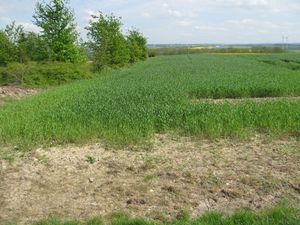 5 meter 5 meter
|
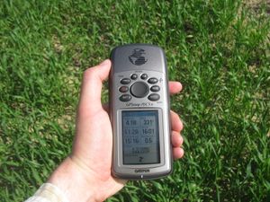 |
The hash lay in the field, but at the first three meters there were no plants, so I could make these steps to reach at the hash. | |
| And I looked around: | ||
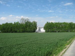 to the north to the north |
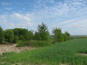 to the east to the east |
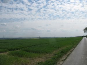 to the south to the south
|
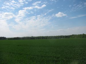 to the west to the west |
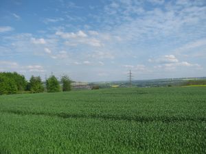 some steps away, to the valley some steps away, to the valley |
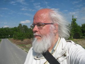 and to the geohasher. and to the geohasher.
|
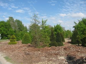 |
... and to the neighbouring field. | |
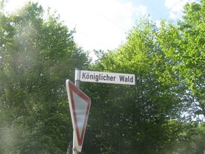 |
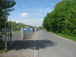 |
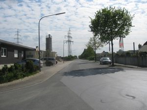
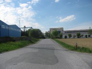
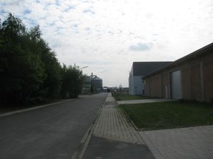
On the preparation of the expedition and later in the field I found a street with the name Königlicher Wald — Kingly Forest and I wondered about it. This name in an industrial area. Look yourself. |
 |
 |
|
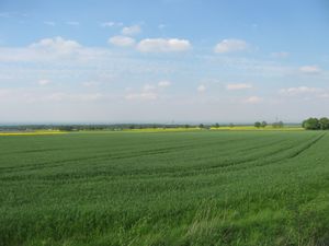 |
At least I walked to the roundabout at the southeast and had a view to the plains. In the distance there were mountains to see, but because of the dust, they don't appear on the photo. | |
Achievements
GeorgDerReisende earned the Thumbs Up Geohash Achievement
|
GeorgDerReisende earned the Hash collision honorable mention
|