Location
The hash lay in the forest between Rengershausen and Guntershausen.
Participants
GeorgDerReisende
Plans
Tram, bus and walking.
Expedition
|
|
|
 |
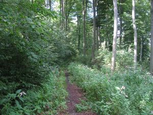 |
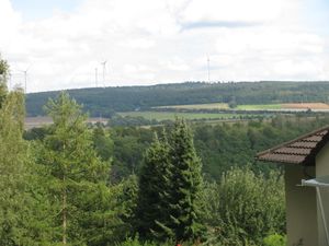
I took trams and the bus as planned and arrived above Guntershausen with a good view to the Warpel on the other side of the river Fulda. Then I took the way into the forest. Sometimes the way was made of gravel, but sometimes it was a muddy path between green plants along a steep hill.
|
 |
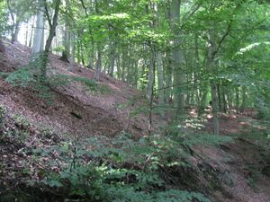 |
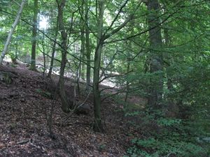
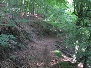
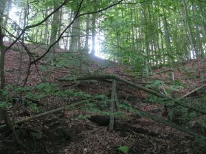
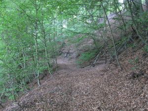
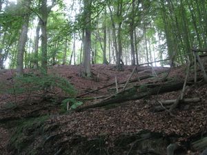
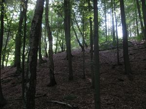
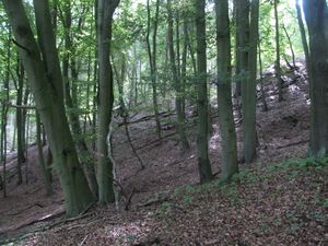
Then I arrived at a place beyond the hash, but I was 60 meters away. There were some stairs uphill with broken handrails to a shelter. I took these stairs. While walking around the shelter I got a 40 meter mark, but I couldn't get nearer, because the hill was so steep. Maybe I took too much photos of the situation. I saw a birch tree, of which I thought it would be near the hash and decided to try the hash from above.
|
 |
 |
|
 |
 |
|
 |
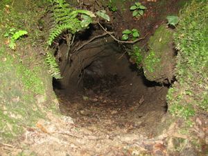 |
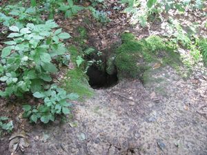
While I walked to the upper side, I found this big hole in the ground. What a big animal lives here? Velociraptors?
|
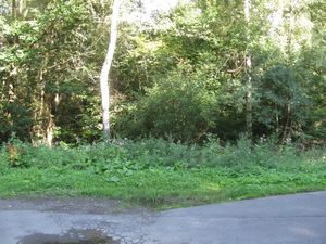 |
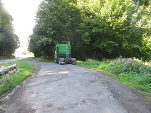 |
On the nearest place from the road above I hadn't an access to the forest, but I found a path, not an ordinary forest way, behind the truck.
|
 |
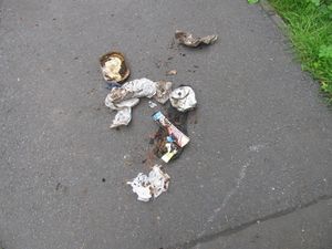 |
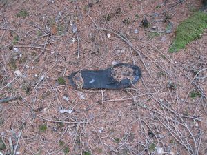
While walking across the unpathed forest I found some trash and I picked it up.
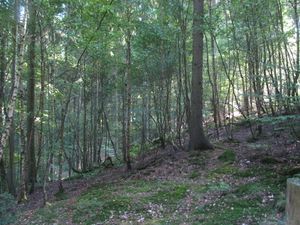
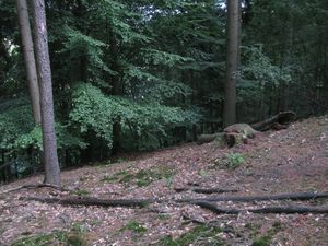
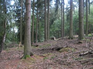
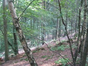
Now some photos from above the hash:
|
 |
 |
|
 south south |
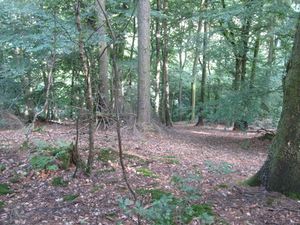 east and steep downhill east and steep downhill |
I found a place to sit down without the risk to fall down and waited there, if the pointer walked to the hash, but it didn't.
|
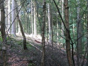 north north |
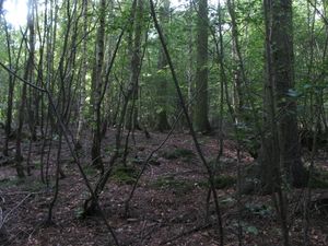 west and uphill west and uphill |
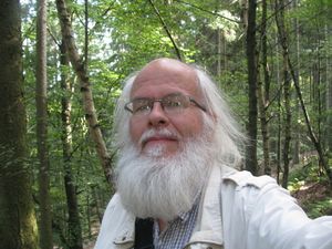 the geohasher. the geohasher.
|
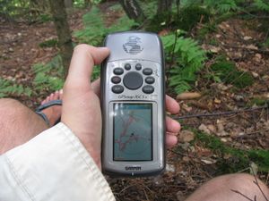 |
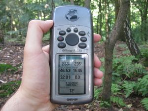 |
Photos of proof. Walk near the hash and walk of the pointer. But I couldn't come nearer to the hash than 12 meters. But the circle of inaccuracy showed the hash in its distance. Hash reached or not?
|
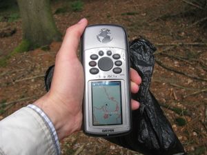 |
|
Walks along the valley under and above the hash.
|
Achievements
or, if reached
Public transport, Geotrash


