2015-09-06 66 29
| Sun 6 Sep 2015 in 66,29: 66.1540900, 29.5764711 geohashing.info google osm bing/os kml crox |
Location
In Vuotunki, Kuusamo. The point lies on the field with long hey.
Participants
- Pastori
- The Wife
Expedition
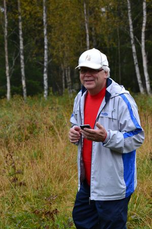
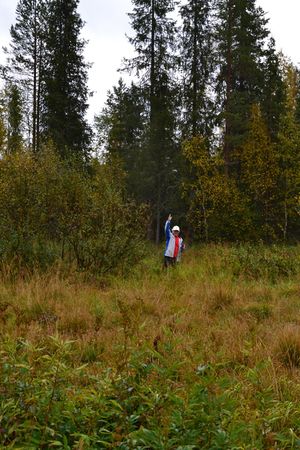
Pastori and Wife are on the move again. This time the hashpoint was in southern Lapland, in Salla or as the locals say ”in the middle of nowhere”. They had driven 414 kilometres from their home to get there the previous day. After a good night's sleep in a log cabin, Wife noticed that near them, only about 100 km away, there was a hashpoint in a yet unnamed graticule waiting to be conquered. So, after breakfast they headed south. In drizzling rain the journey was quick driving on quiet roads. Wife was successfully able to navigate the small roads towards the end and Pastori steered the car near the hashpoint on a very small road through a field. From the car there was only about 50 metres left to the point. Thankfully a tractor had previously driven on the field with long hey and so Pastori could get to the hashpoint without getting too wet and achieved an accuracy of 0,6 metres. Wife remained behind two ditches to take pictures of the hashpoint-dance.
In the unnamed graticule there is a beautiful national park by the name of Oulanka. The park has a 80 km hicking trail running through it called Karhunkierros (lit. 'the circuit of the bear') which celebrates its 60th anniversary this year. Thus the name of the graticule shall be Oulanka. After deciding this, Pastori went and drove back to the log cabin and nimbly climbed to the top of the bunk bed to have a nap. Tomorrow there might be another adventure, so stay tuned!
Additional photos
Achievements
Pastori and The Wife earned the Land geohash achievement
|


