2015-09-29 63 31
| Tue 29 Sep 2015 in 63,31: 63.1175554, 31.0828942 geohashing.info google osm bing/os kml crox |
Location
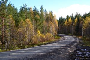
In Ilomantsi, Louhivaara. The point lies on the side of the road.
Participants
- Pastori
- The Wife
Expedition
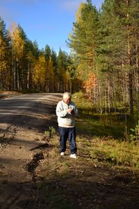
In honour of a beautiful autumn day, Pastori and Wife decided to go for a trip to a new, unvisited graticule in North Karelia. After breakfast Wife packed lunch for them, some karelian pies, fruits and coffee, and then off towards the unknown. The first point was 162,6 km away. The hashpoint was easy to reach, right next to the road on the bank of the ditch, like a walk in a park. Pastori reached the point with an accuracy of 2 metres. What makes this graticule interesting is that only about 10 % of it is Finland and even the name is Muyezerskiy, Russia. That's why they absolutely had to visit the one time the hashpoint was actually on Finnish soil.
On the way to the second graticule of the day to the west there was one of Finland's national parks, Patvinsuo national park. It was a good place to eat lunch and walk about a bit and admire the beautiful lake scenery in autumn colours. It was worth a visit, Pastori and Wife recommend it.
The journey continues..
Additional photos
Achievements
Pastori earned the Land geohash achievement
|


