2015-12-12 52 1
From Geohashing
Revision as of 13:01, 13 December 2015 by imported>Sourcerer (→Punctuation error)
| Sat 12 Dec 2015 in Norwich, UK: 52.1277199, 1.3759589 geohashing.info google osm bing/os kml crox |
Location
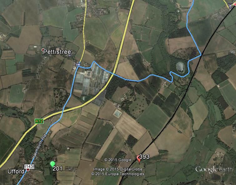
In a field between Eyke and the A12, Suffolk, UK.
Participants
Plans
Public footpaths and farm tracks led close. It looked as though there was a convenient bridge under the railway. The river Deben blocked the approach from the other direction. I planned to attempt this in the morning on the way to friends in Essex.
Expedition
- Not reached - too much Christmas cheer! -- Sourcerer (talk) @51.7621,.5509 22:43, 12 December 2015 (GMT)
At first I categorised this as "Did not attempt". This was wrong. I diverted off my route and got to about 1.3 km away from the hashpoint. Then I gave up.
- Cold
- Wet - not quite snow.
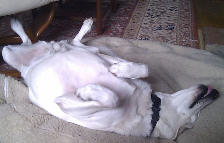
- Hasdog Lyla was recovering from an operation to remove a cancerous lump.
- Too cold to leave the dog in the car.
- Too far for the dog to walk.
- I had been invited to a fairly up-market Italian restaurant later that evening.
- I didn't want to turn up covered in mud. I forgot to pack a change of clothes.
- I decided to visit the hashpoint on my way home. The forecast was for dryer weather but I still had the dog problems.
- I was invited to sleep over at my friends' house in Essex.
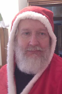
- The Italian meal was wonderful. So was the beer. So was the wine. I was given a Santa themed dressing gown. You can see where this is going.
Photos
Attack Dog
Proof of Fail
Achievements
Expeditions and Plans
| 2015-12-12 | ||
|---|---|---|
| Pforzheim, Germany | RecentlyChanged | Near a big road |
| Norwich, United Kingdom | Sourcerer | In a field between Eyke and the A12, Suffolk, UK. |
Sourcerer's Expedition Links
2015-12-11 52 1 - 2015-12-12 52 1 - 2015-12-13 52 1 - KML file download of Sourcerer's expeditions for use with Google Earth.


