Location
A field neat Wallerstaedten between Trebur and Groß-Gerau.
Participants
DODO
Plans
It seems that the Hash wants to offend me, just Jumping up and down the Rhine valley. But I will catch him again tomorrow. I will go by train to Biebesheim, where I started today and walk through the Hash to Groß-Gerau.
I will be at the Hash around 4 pm.
Expedition
This is part three of this years hash-tour. Here you find the preceding and the following part.
|
|
|
 |
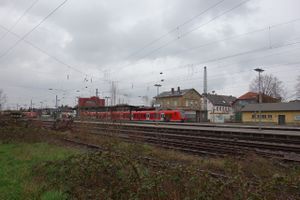 |
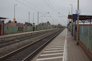
Todays cashpoint was in the north again, and I decided to continue my walk in Biebesheim, just continuing the way north where I turned to the south yesterday. I missed my gps-receiver when I came to the hotel yesterday, and I was quite sure that I left it in the hut near the Weschnitz. And since the walk from Biebesheim to Groß-Gerau wasn't to long, I decided to my train ride in Biblis and walk to the hut. So here are the stations of Bürstadt (500 m from the hotel) and Biblis.
|
 |
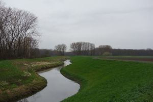 |
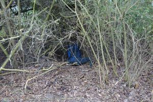
I had to return to the station in Biblis and I left my luggage in a nearby thicket, so I didn't have to wear it all the time. I took a picture, to proof that it has been there, but it was still there when I returned of course. After 40 minutes I reached the Weschnitz.
|
 |
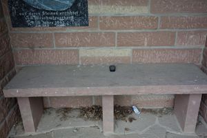 |
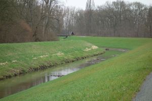
I followed the rivulet for the next 30 minutes until I saw the well known hut again. I was a little nervous wether the rescue of my device would be successful.The Gadget just lied there and didn't make a sound (that is only half true as the display showed a message that energy is low and this is usually accompanied by a beep).
|
 |
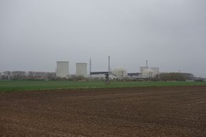 |
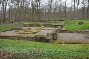
I found the remains of a nearby castle, that was founded by the Romans more than 1500 years ago. On my way back I found the remaining of a power plant. They are bigger now but will be totally removed in less than 50 years.
|
 |
 |
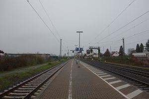
I returned to Biblis, bought some food and took the next train to Biebesheim, just another boring station. Some 15 minutes later I was back at the hash point I had visited 2 days ago. The sheep were still there (wiser than me).
|
 |
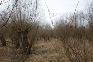 |
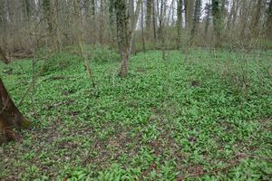
I crossed Stockstadt and reached the nature reserve Kühkopf-Knoblauchsaue (cowherd - garlic mead). And as promised the bottom was coated with bear's garlic. Later I found some meadows to.
|
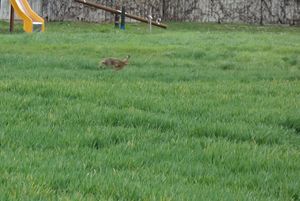
| I had to walk through some fields now and found several animals: rabbits |
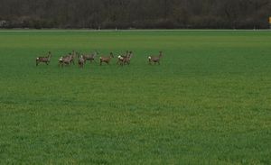
deers |
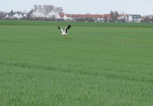
and storks
|
 |
 |
|
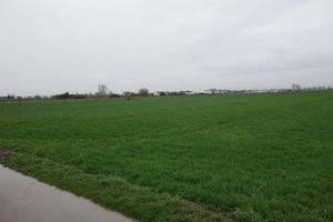
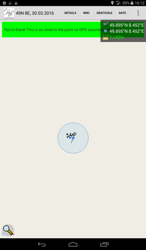
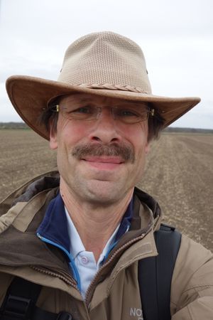
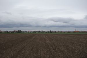
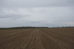
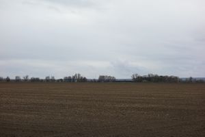
| ...before I reached the hash. Which a broad grin I took pictures of the field, although it looks pretty much the same in any direction. |
 |
|
 |
 |
|
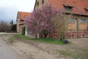
| Wallerstaedten greeted me with a tree in blossom, |
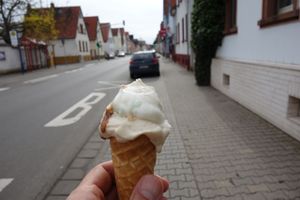
and bid me farewell with ice cream. |
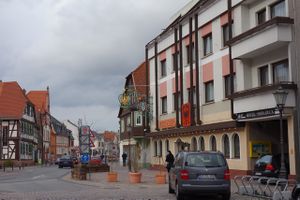
Soon I reached the hotel in Groß-Gerau.
|
 |
 |
|
After walking more than 36 kilometers today, I was quite exhausted, but rewarded myself with a great meal in the evening.
Tracklog
Photos
Will follow
Achievements


