2016-04-12 50 11
From Geohashing
Revision as of 20:02, 12 April 2016 by imported>Reinhard (report)
| Tue 12 Apr 2016 in 50,11: 50.9364607, 11.8804136 geohashing.info google osm bing/os kml crox |
Location
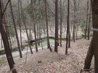
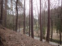
In the forest very close to the road through the Eisenberger Mühltal, Thuringia, Germany.
Participants
Expedition
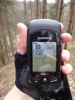
Bicycle ride in useful weather conditions. Of course, the hashpoint lay at a steep slope in the wood.
Tracklog
Photos
|


